Matagbak geodata
Matagbak (Calabarzon) is a populated place; located in Philippines in Asia/Manila (GMT+8) time zone. With population of 2,893 people, there are 2652 cities with bigger population in this country. Compared to other cities in Philippines, 70.9% of cities are located further ↓South; 81.4% of cities are located further →East and 94.8% of cities have lower elevation than Matagbak. Note1


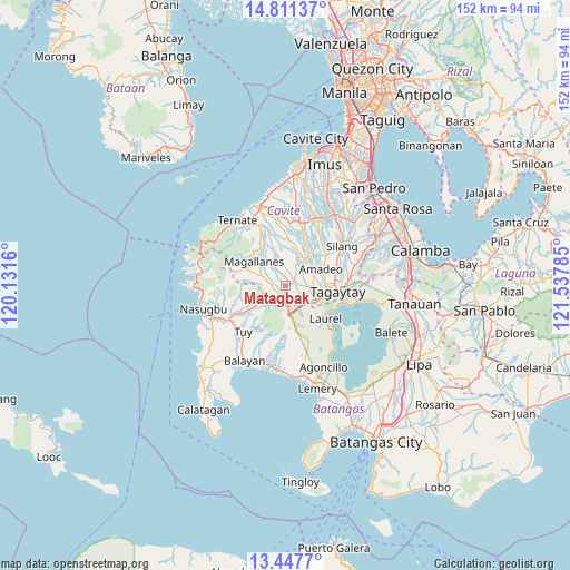
Matagbak GPS coordinates[2]
14° 7' 50.016" North, 120° 50' 4.992" East
| Map corner | latitude | longitude |
|---|---|---|
| Upper-left | 14.81137°, | 120.1316° |
| Center: | 14.13056°, | 120.83472° |
| Lower-right: | 13.4477°, | 121.53785° |
| Map W x H: | 151.6×151.6 km | = 94.2×94.2mi |
| max Lat: | 20.78733° ⇑29.1% North |
| Matagbak: | 14.13056° |
| min Lat: | ⇓70.9% South 4.65442° |
| min Long | Matagbak | max Long |
| 117.04868° | 120.83472° | 126.58417° |
| W 18.6%⇐ | ⇒81.4% E |
Elevation
Elevation of Matagbak is 402 m = 1319 ft, and this is 314.1 m = 1031 ft above average elevation for this country.
| Max E: |
2262 m = 7421 ft | 5.2% |
| Matagbak | 402 m 1319 ft | |
| Avg. | 87.9 m = 288 ft | |
Min E: |
-2 m = -7 ft | 94.8% |
See also: Philippines elevation on elevation.city.
Geographical zone
Matagbak is located in North Torrid zone (between Equator and Tropic of Cancer). Distance of this Northern Tropic circle is 1034.7 km =642.9 mi to North.| Distance of | km | miles | from Matagbak |
|---|---|---|---|
| North Pole | 8435.9 | 5241.8 | to North |
| Arctic Circle | 5830 | 3622.6 | to North |
| Tropic Cancer | 1034.7 | 642.9 | to North |
| Equator | 1571.2 | 976.3 | to South |


Nearby cities:
15 places around Matagbak: (largest is in red/bold)
• Aga
5.2 km =3.2 mi,  222°
222°
• Alfonso
2.4 km =1.5 mi,  61°
61°
• Anuling
6.2 km =3.9 mi,  96°
96°
• Banaba
9.7 km =6 mi,  9°
9°
• Batas
8 km =5 mi,  345°
345°
• General Emilio Aguinaldo
7.3 km =4.5 mi,  324°
324°
• Guyam Malaki
3.7 km =2.3 mi,  49°
49°
• Indang
8.5 km =5.3 mi,  32°
32°
• Kaytitinga
2.7 km =1.7 mi,  192°
192°
• Luksuhin
6.2 km =3.9 mi,  127°
127°
• Magallanes
10.5 km =6.5 mi,  307°
307°
• Mangas
3.7 km =2.3 mi,  112°
112°
• Mendez-Nuñez
7.7 km =4.8 mi,  91°
91°
• Taywanak Ilaya
3.3 km =2.1 mi,  22°
22°
• Toong
10.2 km =6.3 mi,  229°
229°
Sources, notices
• [Note1] Compared only with cities in Philippines existing in our database
• [Src1] Map data: © OpenStreetMap contributors (CC-BY-SA)
• [Src2] Other city data from geonames.org with taken over terms of usage.
• [Src3] Geographical zone / Annual Mean Temperature by Robert A. Rohde @ Wikipedia
