Manaloal geodata
Manaloal (Davao) is a populated place; located in Philippines in Asia/Manila (GMT+8) time zone. With population of 3,446 people, there are 2105 cities with bigger population in this country. Compared to other cities in Philippines, 88% of cities are located further ↑North; 95.2% of cities are located further ←West and 67.4% of cities have higher elevation than Manaloal. Note1


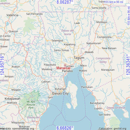
Manaloal GPS coordinates[2]
7° 21' 57.996" North, 125° 39' 37.008" East
| Map corner | latitude | longitude |
|---|---|---|
| Upper-left | 8.06287°, | 124.95716° |
| Center: | 7.36611°, | 125.66028° |
| Lower-right: | 6.66826°, | 126.36341° |
| Map W x H: | 155.1×155.1 km | = 96.4×96.4mi |
| max Lat: | 20.78733° ⇑88% North |
| Manaloal: | 7.36611° |
| min Lat: | ⇓12% South 4.65442° |
| min Long | Manaloal | max Long |
| 117.04868° | 125.66028° | 126.58417° |
| W 95.2%⇐ | ⇒4.8% E |
Elevation
Elevation of Manaloal is 13 m = 43 ft, and this is 74.9 m = 246 ft below average elevation for this country.
| Max E: |
2262 m = 7421 ft | 67.4% |
| Avg. | 87.9 m = 288 ft | |
| Manaloal | 13 m = 43 ft | |
Min E: |
-2 m = -7 ft | 32.6% |
See also: Philippines elevation on elevation.city.
Geographical zone
Manaloal is located in North Torrid zone (between Equator and Tropic of Cancer). Distance of Equator is 819 km =508.9 mi to South.| Distance of | km | miles | from Manaloal |
|---|---|---|---|
| North Pole | 9188 | 5709.2 | to North |
| Arctic Circle | 6582.1 | 4089.9 | to North |
| Tropic Cancer | 1786.9 | 1110.3 | to North |
| Equator | 819 | 508.9 | to South |


Nearby cities:
15 places around Manaloal: (largest is in red/bold)
• Alejal
2 km =1.2 mi,  359°
359°
• Anibongan
7.1 km =4.4 mi,  64°
64°
• Bincoñgan
9.9 km =6.2 mi,  89°
89°
• Cabayangan
9.2 km =5.7 mi, 60°
• Carmen
5.1 km =3.2 mi,  96°
96°
• Katipunan
6.7 km =4.2 mi,  220°
220°
• La Paz
9.8 km =6.1 mi,  124°
124°
• Maduao
8.9 km =5.5 mi,  205°
205°
• Magsaysay
4.4 km =2.7 mi,  320°
320°
• Manay
9.8 km =6.1 mi,  253°
253°
• Nanyo
4.4 km =2.7 mi, 214°
• Panabo
7 km =4.3 mi,  157°
157°
• Santo Niño
6.5 km =4 mi,  130°
130°
• Tubod
1.8 km =1.1 mi,  289°
289°
• Tuganay
6.9 km =4.3 mi, 87°
Sources, notices
• [Note1] Compared only with cities in Philippines existing in our database
• [Src1] Map data: © OpenStreetMap contributors (CC-BY-SA)
• [Src2] Other city data from geonames.org with taken over terms of usage.
• [Src3] Geographical zone / Annual Mean Temperature by Robert A. Rohde @ Wikipedia
