Mahatao geodata
Mahatao (Cagayan Valley) is a seat of a third-order administrative division; located in Philippines in Asia/Manila (GMT+8) time zone. In our database, there are 4166 cities with bigger population. Compared to other cities in Philippines, 100% of cities are located further ↓South; 60.9% of cities are located further →East and 85.4% of cities have higher elevation than Mahatao. Note1


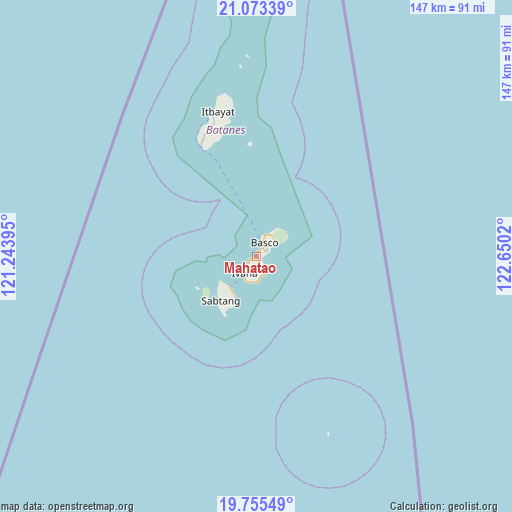
Mahatao GPS coordinates[2]
20° 24' 57.06" North, 121° 56' 49.452" East
| Map corner | latitude | longitude |
|---|---|---|
| Upper-left | 21.07339°, | 121.24395° |
| Center: | 20.41585°, | 121.94707° |
| Lower-right: | 19.75549°, | 122.6502° |
| Map W x H: | 146.5×146.5 km | = 91×91mi |
| max Lat: | 20.78733° ⇑0% North |
| Mahatao: | 20.41585° |
| min Lat: | ⇓100% South 4.65442° |
| min Long | Mahatao | max Long |
| 117.04868° | 121.94707° | 126.58417° |
| W 39.1%⇐ | ⇒60.9% E |
Elevation
Elevation of Mahatao is 8 m = 26 ft, and this is 79.9 m = 262 ft below average elevation for this country.
| Max E: |
2262 m = 7421 ft | 85.4% |
| Avg. | 87.9 m = 288 ft | |
| Mahatao | 8 m = 26 ft | |
Min E: |
-2 m = -7 ft | 14.6% |
See also: Philippines elevation on elevation.city.
Geographical zone
Mahatao is located in North Torrid zone (between Equator and Tropic of Cancer). Distance of this Northern Tropic circle is 335.9 km =208.7 mi to North.| Distance of | km | miles | from Mahatao |
|---|---|---|---|
| North Pole | 7737 | 4807.5 | to North |
| Arctic Circle | 5131.1 | 3188.3 | to North |
| Tropic Cancer | 335.9 | 208.7 | to North |
| Equator | 2270 | 1410.5 | to South |


Nearby cities:
15 places around Mahatao: (largest is in red/bold)
• Abulug
225.1 km =139.9 mi,  193°
193°
• Ballesteros
227.3 km =141.2 mi, 191°
• Basco
4.4 km =2.7 mi,  33°
33°
• Cabaritan East
227.3 km =141.2 mi, 192°
• Casambalangan
227.5 km =141.4 mi,  175°
175°
• Claveria
220.5 km =137 mi,  204°
204°
• Itbayat
42.7 km =26.5 mi,  345°
345°
• Ivana
6.1 km =3.8 mi,  213°
213°
• Namuac
216.8 km =134.7 mi, 202°
• Pamplona
225.9 km =140.4 mi, 196°
• Sabtang
11.9 km =7.4 mi,  221°
221°
• San Vicente
213.3 km =132.5 mi,  174°
174°
• Santa Ana
217.4 km =135.1 mi, 174°
• Santa Cruz
221.5 km =137.6 mi, 197°
• Uyugan
7.3 km =4.5 mi, 187°
Sources, notices
• [Note1] Compared only with cities in Philippines existing in our database
• [Src1] Map data: © OpenStreetMap contributors (CC-BY-SA)
• [Src2] Other city data from geonames.org with taken over terms of usage.
• [Src3] Geographical zone / Annual Mean Temperature by Robert A. Rohde @ Wikipedia
