Ivana geodata
Ivana (Cagayan Valley) is a seat of a third-order administrative division; located in Philippines in Asia/Manila (GMT+8) time zone. In our database, there are 4166 cities with bigger population. Compared to other cities in Philippines, 99.9% of cities are located further ↓South; 61.4% of cities are located further →East and 73.2% of cities have higher elevation than Ivana. Note1


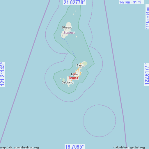
Ivana GPS coordinates[2]
20° 22' 12.18" North, 121° 54' 52.452" East
| Map corner | latitude | longitude |
|---|---|---|
| Upper-left | 21.02778°, | 121.21145° |
| Center: | 20.37005°, | 121.91457° |
| Lower-right: | 19.7095°, | 122.6177° |
| Map W x H: | 146.6×146.6 km | = 91.1×91.1mi |
| max Lat: | 20.78733° ⇑0.1% North |
| Ivana: | 20.37005° |
| min Lat: | ⇓99.9% South 4.65442° |
| min Long | Ivana | max Long |
| 117.04868° | 121.91457° | 126.58417° |
| W 38.6%⇐ | ⇒61.4% E |
Elevation
Elevation of Ivana is 11 m = 36 ft, and this is 76.9 m = 252 ft below average elevation for this country.
| Max E: |
2262 m = 7421 ft | 73.2% |
| Avg. | 87.9 m = 288 ft | |
| Ivana | 11 m = 36 ft | |
Min E: |
-2 m = -7 ft | 26.8% |
See also: Philippines elevation on elevation.city.
Geographical zone
Ivana is located in North Torrid zone (between Equator and Tropic of Cancer). Distance of this Northern Tropic circle is 341 km =211.9 mi to North.| Distance of | km | miles | from Ivana |
|---|---|---|---|
| North Pole | 7742.1 | 4810.7 | to North |
| Arctic Circle | 5136.2 | 3191.5 | to North |
| Tropic Cancer | 341 | 211.9 | to North |
| Equator | 2264.9 | 1407.3 | to South |


Nearby cities:
15 places around Ivana: (largest is in red/bold)
• Abulug
219.4 km =136.3 mi,  192°
192°
• Ballesteros
221.6 km =137.7 mi, 190°
• Basco
10.5 km =6.5 mi,  33°
33°
• Cabaritan East
221.6 km =137.7 mi, 191°
• Claveria
214.5 km =133.3 mi,  203°
203°
• Itbayat
47 km =29.2 mi,  350°
350°
• Mahatao
6.1 km =3.8 mi, 33°
• Namuac
210.8 km =131 mi, 201°
• Pamplona
220 km =136.7 mi, 195°
• Sabtang
5.9 km =3.7 mi,  229°
229°
• San Vicente
208.6 km =129.6 mi,  173°
173°
• Santa Ana
212.7 km =132.2 mi, 173°
• Santa Cruz
215.6 km =134 mi, 197°
• Santa Praxedes
222.3 km =138.1 mi,  205°
205°
• Uyugan
3.3 km =2.1 mi,  132°
132°
Sources, notices
• [Note1] Compared only with cities in Philippines existing in our database
• [Src1] Map data: © OpenStreetMap contributors (CC-BY-SA)
• [Src2] Other city data from geonames.org with taken over terms of usage.
• [Src3] Geographical zone / Annual Mean Temperature by Robert A. Rohde @ Wikipedia
