Itbayat geodata
Itbayat (Cagayan Valley) is a seat of a third-order administrative division; located in Philippines in Asia/Manila (GMT+8) time zone. In our database, there are 4166 cities with bigger population. Compared to other cities in Philippines, 100% of cities are located further ↓South; 62.1% of cities are located further →East and 79.9% of cities have lower elevation than Itbayat. Note1


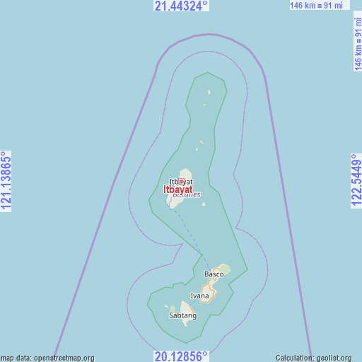
Itbayat GPS coordinates[2]
20° 47' 14.388" North, 121° 50' 30.372" East
| Map corner | latitude | longitude |
|---|---|---|
| Upper-left | 21.44324°, | 121.13865° |
| Center: | 20.78733°, | 121.84177° |
| Lower-right: | 20.12856°, | 122.5449° |
| Map W x H: | 146.2×146.2 km | = 90.8×90.8mi |
| max Lat: | 20.78733° ⇑0% North |
| Itbayat: | 20.78733° |
| min Lat: | ⇓100% South 4.65442° |
| min Long | Itbayat | max Long |
| 117.04868° | 121.84177° | 126.58417° |
| W 37.9%⇐ | ⇒62.1% E |
Elevation
Elevation of Itbayat is 91 m = 299 ft, and this is 3.1 m = 10 ft above average elevation for this country.
| Max E: |
2262 m = 7421 ft | 20.1% |
| Itbayat | 91 m 299 ft | |
| Avg. | 87.9 m = 288 ft | |
Min E: |
-2 m = -7 ft | 79.9% |
See also: Philippines elevation on elevation.city.
Geographical zone
Itbayat is located in North Torrid zone (between Equator and Tropic of Cancer). Distance of this Northern Tropic circle is 294.6 km =183.1 mi to North.| Distance of | km | miles | from Itbayat |
|---|---|---|---|
| North Pole | 7695.7 | 4781.9 | to North |
| Arctic Circle | 5089.8 | 3162.7 | to North |
| Tropic Cancer | 294.6 | 183.1 | to North |
| Equator | 2311.3 | 1436.2 | to South |


Nearby cities:
15 places around Itbayat: (largest is in red/bold)
• Abulug
263.6 km =163.8 mi,  188°
188°
• Ballesteros
266.3 km =165.5 mi, 187°
• Basco
40 km =24.9 mi,  160°
160°
• Cabaritan East
266 km =165.3 mi, 187°
• Claveria
255.1 km =158.5 mi,  198°
198°
• Ivana
47 km =29.2 mi,  170°
170°
• Mahatao
42.7 km =26.5 mi, 165°
• Namuac
252.1 km =156.6 mi, 196°
• Pamplona
263.3 km =163.6 mi, 191°
• Sabtang
50.3 km =31.3 mi,  176°
176°
• San Vicente
255.5 km =158.8 mi, 172°
• Santa Ana
259.7 km =161.4 mi, 172°
• Santa Cruz
258.6 km =160.7 mi, 192°
• Santa Praxedes
262.2 km =162.9 mi, 199°
• Uyugan
49.6 km =30.8 mi, 168°
Sources, notices
• [Note1] Compared only with cities in Philippines existing in our database
• [Src1] Map data: © OpenStreetMap contributors (CC-BY-SA)
• [Src2] Other city data from geonames.org with taken over terms of usage.
• [Src3] Geographical zone / Annual Mean Temperature by Robert A. Rohde @ Wikipedia
