Lampari geodata
Lampari (Soccsksargen) is a populated place; located in Philippines in Asia/Manila (GMT+8) time zone. With population of 2,383 people, there are 3493 cities with bigger population in this country. Compared to other cities in Philippines, 96.6% of cities are located further ↑North; 85.8% of cities are located further ←West and 91% of cities have lower elevation than Lampari. Note1
Administrative division(s):
- Level 1: Soccsksargen
- Level 2: Province of South Cotabato
- Level 3: Banga


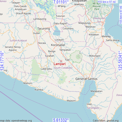
Lampari GPS coordinates[2]
6° 18' 45.504" North, 124° 52' 49.008" East
| Map corner | latitude | longitude |
|---|---|---|
| Upper-left | 7.01101°, | 124.17716° |
| Center: | 6.31264°, | 124.88028° |
| Lower-right: | 5.61332°, | 125.58341° |
| Map W x H: | 155.4×155.4 km | = 96.6×96.6mi |
| max Lat: | 20.78733° ⇑96.6% North |
| Lampari: | 6.31264° |
| min Lat: | ⇓3.4% South 4.65442° |
| min Long | Lampari | max Long |
| 117.04868° | 124.88028° | 126.58417° |
| W 85.8%⇐ | ⇒14.2% E |
Elevation
Elevation of Lampari is 254 m = 833 ft, and this is 166.1 m = 545 ft above average elevation for this country.
| Max E: |
2262 m = 7421 ft | 9% |
| Lampari | 254 m 833 ft | |
| Avg. | 87.9 m = 288 ft | |
Min E: |
-2 m = -7 ft | 91% |
See also: Philippines elevation on elevation.city.
Geographical zone
Lampari is located in North Torrid zone (between Equator and Tropic of Cancer). Distance of Equator is 701.9 km =436.1 mi to South.| Distance of | km | miles | from Lampari |
|---|---|---|---|
| North Pole | 9305.2 | 5782 | to North |
| Arctic Circle | 6699.3 | 4162.8 | to North |
| Tropic Cancer | 1904 | 1183.1 | to North |
| Equator | 701.9 | 436.1 | to South |


Nearby cities:
15 places around Lampari: (largest is in red/bold)
• Carpenter Hill
14.6 km =9.1 mi,  0°
0°
• Cebuano
12.8 km =8 mi,  49°
49°
• Kabalen
14.4 km =8.9 mi,  86°
86°
• Kipalbig
12 km =7.5 mi,  25°
25°
• Koronadal
14 km =8.7 mi,  122°
122°
• Lamba
7.9 km =4.9 mi,  302°
302°
• Lambontong
7.7 km =4.8 mi,  266°
266°
• Lamian
3.8 km =2.4 mi,  264°
264°
• Lunen
5.8 km =3.6 mi, 27°
• Maltana
13.8 km =8.6 mi, 27°
• Palian
7.6 km =4.7 mi, 26°
• Polonoling
10.3 km =6.4 mi,  107°
107°
• Sinolon
10.6 km =6.6 mi,  223°
223°
• T'boli
13.6 km =8.5 mi,  202°
202°
• Tupi
8.4 km =5.2 mi,  73°
73°
Sources, notices
• [Note1] Compared only with cities in Philippines existing in our database
• [Src1] Map data: © OpenStreetMap contributors (CC-BY-SA)
• [Src2] Other city data from geonames.org with taken over terms of usage.
• [Src3] Geographical zone / Annual Mean Temperature by Robert A. Rohde @ Wikipedia
