Kauran geodata
Kauran (Autonomous Region in Muslim Mindanao) is a populated place; located in Philippines in Asia/Manila (GMT+8) time zone. With population of 5,120 people, there are 1253 cities with bigger population in this country. Compared to other cities in Philippines, 93.3% of cities are located further ↑North; 78.4% of cities are located further ←West and 52.3% of cities have lower elevation than Kauran. Note1
Administrative division(s):
- Level 1: Autonomous Region in Muslim Mindanao
- Level 2: Province of Maguindanao
- Level 3: Ampatuan


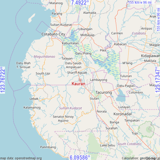
Kauran GPS coordinates[2]
6° 47' 40.344" North, 124° 28' 13.224" East
| Map corner | latitude | longitude |
|---|---|---|
| Upper-left | 7.4922°, | 123.76722° |
| Center: | 6.79454°, | 124.47034° |
| Lower-right: | 6.09586°, | 125.17347° |
| Map W x H: | 155.3×155.3 km | = 96.5×96.5mi |
| max Lat: | 20.78733° ⇑93.3% North |
| Kauran: | 6.79454° |
| min Lat: | ⇓6.7% South 4.65442° |
| min Long | Kauran | max Long |
| 117.04868° | 124.47034° | 126.58417° |
| W 78.4%⇐ | ⇒21.6% E |
Elevation
Elevation of Kauran is 25 m = 82 ft, and this is 62.9 m = 206 ft below average elevation for this country.
| Max E: |
2262 m = 7421 ft | 47.7% |
| Avg. | 87.9 m = 288 ft | |
| Kauran | 25 m = 82 ft | |
Min E: |
-2 m = -7 ft | 52.3% |
See also: Philippines elevation on elevation.city.
Geographical zone
Kauran is located in North Torrid zone (between Equator and Tropic of Cancer). Distance of Equator is 755.5 km =469.4 mi to South.| Distance of | km | miles | from Kauran |
|---|---|---|---|
| North Pole | 9251.6 | 5748.7 | to North |
| Arctic Circle | 6645.7 | 4129.4 | to North |
| Tropic Cancer | 1850.4 | 1149.8 | to North |
| Equator | 755.5 | 469.4 | to South |


Nearby cities:
15 places around Kauran: (largest is in red/bold)
• Ampatuan
8 km =5 mi,  357°
357°
• Bagan
15.6 km =9.7 mi,  339°
339°
• Dukay
17.1 km =10.6 mi,  146°
146°
• Esperanza
9.6 km =6 mi, 145°
• Laguilayan
14.9 km =9.3 mi,  156°
156°
• Maganoy
8.4 km =5.2 mi, 337°
• Matiompong
15.2 km =9.4 mi,  135°
135°
• Mileb
17.1 km =10.6 mi,  47°
47°
• New Panay
11.4 km =7.1 mi,  120°
120°
• Pamantingan
13.3 km =8.3 mi,  227°
227°
• Sadsalan
15.8 km =9.8 mi,  75°
75°
• Sagasa
11.7 km =7.3 mi,  101°
101°
• Sampao
16.6 km =10.3 mi,  56°
56°
• Satan
10.2 km =6.3 mi,  318°
318°
• Villamor
11.5 km =7.1 mi, 151°
Sources, notices
• [Note1] Compared only with cities in Philippines existing in our database
• [Src1] Map data: © OpenStreetMap contributors (CC-BY-SA)
• [Src2] Other city data from geonames.org with taken over terms of usage.
• [Src3] Geographical zone / Annual Mean Temperature by Robert A. Rohde @ Wikipedia
