Esperanza geodata
Esperanza (Bicol) is a seat of a third-order administrative division; located in Philippines in Asia/Manila (GMT+8) time zone. In our database, there are 4166 cities with bigger population. Compared to other cities in Philippines, 50.6% of cities are located further ↓South; 72% of cities are located further ←West and 92.7% of cities have higher elevation than Esperanza. Note1


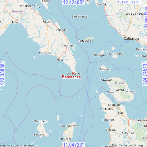
Esperanza GPS coordinates[2]
11° 44' 11.4" North, 124° 2' 31.2" East
| Map corner | latitude | longitude |
|---|---|---|
| Upper-left | 12.42405°, | 123.33888° |
| Center: | 11.7365°, | 124.042° |
| Lower-right: | 11.04723°, | 124.74513° |
| Map W x H: | 153.1×153.1 km | = 95.1×95.1mi |
| max Lat: | 20.78733° ⇑49.4% North |
| Esperanza: | 11.7365° |
| min Lat: | ⇓50.6% South 4.65442° |
| min Long | Esperanza | max Long |
| 117.04868° | 124.042° | 126.58417° |
| W 72%⇐ | ⇒28% E |
Elevation
Elevation of Esperanza is 6 m = 20 ft, and this is 81.9 m = 269 ft below average elevation for this country.
| Max E: |
2262 m = 7421 ft | 92.7% |
| Avg. | 87.9 m = 288 ft | |
| Esperanza | 6 m = 20 ft | |
Min E: |
-2 m = -7 ft | 7.3% |
See also: Philippines elevation on elevation.city.
Geographical zone
Esperanza is located in North Torrid zone (between Equator and Tropic of Cancer). Distance of this Northern Tropic circle is 1300.9 km =808.3 mi to North.| Distance of | km | miles | from Esperanza |
|---|---|---|---|
| North Pole | 8702.1 | 5407.2 | to North |
| Arctic Circle | 6096.2 | 3788 | to North |
| Tropic Cancer | 1300.9 | 808.3 | to North |
| Equator | 1305 | 810.9 | to South |


Nearby cities:
15 places around Esperanza: (largest is in red/bold)
• Almagro
32.9 km =20.4 mi,  53°
53°
• Almeria
39.2 km =24.4 mi,  109°
109°
• Cataingan
30.1 km =18.7 mi,  349°
349°
• Kawayan
34.8 km =21.6 mi,  100°
100°
• Limbuhan
16.4 km =10.2 mi,  3°
3°
• Maripipi
33.8 km =21 mi,  81°
81°
• Nabangig
41.5 km =25.8 mi, 346°
• Naro
43.9 km =27.3 mi,  294°
294°
• Naval
43.4 km =27 mi,  116°
116°
• Pawican
38.3 km =23.8 mi, 348°
• Peña
40.8 km =25.4 mi,  343°
343°
• Placer
19.9 km =12.4 mi,  317°
317°
• Recodo
40.8 km =25.4 mi,  305°
305°
• San Pedro
31.5 km =19.6 mi, 351°
• Tagapul-an
36.8 km =22.9 mi,  18°
18°
Sources, notices
• [Note1] Compared only with cities in Philippines existing in our database
• [Src1] Map data: © OpenStreetMap contributors (CC-BY-SA)
• [Src2] Other city data from geonames.org with taken over terms of usage.
• [Src3] Geographical zone / Annual Mean Temperature by Robert A. Rohde @ Wikipedia
