Recodo geodata
Recodo (Bicol) is a populated place; located in Philippines in Asia/Manila (GMT+8) time zone. With population of 2,160 people, there are 3970 cities with bigger population in this country. Compared to other cities in Philippines, 51.6% of cities are located further ↓South; 66.5% of cities are located further ←West and 59.5% of cities have lower elevation than Recodo. Note1


Recodo GPS coordinates[2]
11° 56' 56.904" North, 123° 44' 13.02" East
| Map corner | latitude | longitude |
|---|---|---|
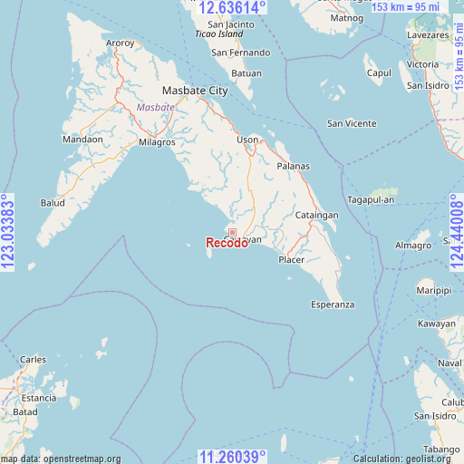
| Upper-left | 12.63614°, | 123.03383° |
| Center: | 11.94914°, | 123.73695° |
| Lower-right: | 11.26039°, | 124.44008° |
| Map W x H: | 153×153 km | = 95.1×95.1mi |
| max Lat: | 20.78733° ⇑48.4% North |
| Recodo: | 11.94914° |
| min Lat: | ⇓51.6% South 4.65442° |
| min Long | Recodo | max Long |
| 117.04868° | 123.73695° | 126.58417° |
| W 66.5%⇐ | ⇒33.5% E |
Elevation
Elevation of Recodo is 33 m = 108 ft, and this is 54.9 m = 180 ft below average elevation for this country.
| Max E: |
2262 m = 7421 ft | 40.5% |
| Avg. | 87.9 m = 288 ft | |
| Recodo | 33 m = 108 ft | |
Min E: |
-2 m = -7 ft | 59.5% |
See also: Philippines elevation on elevation.city.
Geographical zone
Recodo is located in North Torrid zone (between Equator and Tropic of Cancer). Distance of this Northern Tropic circle is 1277.3 km =793.7 mi to North.| Distance of | km | miles | from Recodo |
|---|---|---|---|
| North Pole | 8678.4 | 5392.5 | to North |
| Arctic Circle | 6072.6 | 3773.3 | to North |
| Tropic Cancer | 1277.3 | 793.7 | to North |
| Equator | 1328.6 | 825.6 | to South |


Nearby cities:
15 places around Recodo: (largest is in red/bold)
• Balucawi
30.3 km =18.8 mi,  22°
22°
• Barra
17.3 km =10.7 mi,  322°
322°
• Buenavista
25.9 km =16.1 mi,  12°
12°
• Cataingan
28.4 km =17.6 mi,  77°
77°
• Dapdap
29.8 km =18.5 mi, 6°
• Dimasalang
30.1 km =18.7 mi,  26°
26°
• Malbug
15.5 km =9.6 mi, 320°
• Nabangig
28.6 km =17.8 mi,  54°
54°
• Naro
9 km =5.6 mi,  229°
229°
• Palanas
29.7 km =18.5 mi,  42°
42°
• Pawican
29 km =18 mi,  61°
61°
• Peña
26.9 km =16.7 mi, 54°
• Placer
21.7 km =13.5 mi,  114°
114°
• San Pedro
29.6 km =18.4 mi, 75°
• Tigbaw
27.3 km =17 mi, 324°
Sources, notices
• [Note1] Compared only with cities in Philippines existing in our database
• [Src1] Map data: © OpenStreetMap contributors (CC-BY-SA)
• [Src2] Other city data from geonames.org with taken over terms of usage.
• [Src3] Geographical zone / Annual Mean Temperature by Robert A. Rohde @ Wikipedia
