Zaragoza geodata
Zaragoza (Ilocos) is a populated place; located in Philippines in Asia/Manila (GMT+8) time zone. With population of 7,391 people, there are 845 cities with bigger population in this country. Compared to other cities in Philippines, 90.5% of cities are located further ↓South; 97.5% of cities are located further →East and 54.4% of cities have lower elevation than Zaragoza. Note1


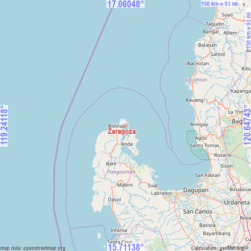
Zaragoza GPS coordinates[2]
16° 23' 13.56" North, 119° 56' 39.48" East
| Map corner | latitude | longitude |
|---|---|---|
| Upper-left | 17.06048°, | 119.24118° |
| Center: | 16.3871°, | 119.9443° |
| Lower-right: | 15.71138°, | 120.64743° |
| Map W x H: | 150×150 km | = 93.2×93.2mi |
| max Lat: | 20.78733° ⇑9.5% North |
| Zaragoza: | 16.3871° |
| min Lat: | ⇓90.5% South 4.65442° |
| min Long | Zaragoza | max Long |
| 117.04868° | 119.9443° | 126.58417° |
| W 2.5%⇐ | ⇒97.5% E |
Elevation
Elevation of Zaragoza is 27 m = 89 ft, and this is 60.9 m = 200 ft below average elevation for this country.
| Max E: |
2262 m = 7421 ft | 45.6% |
| Avg. | 87.9 m = 288 ft | |
| Zaragoza | 27 m = 89 ft | |
Min E: |
-2 m = -7 ft | 54.4% |
See also: Philippines elevation on elevation.city.
Geographical zone
Zaragoza is located in North Torrid zone (between Equator and Tropic of Cancer). Distance of this Northern Tropic circle is 783.8 km =487 mi to North.| Distance of | km | miles | from Zaragoza |
|---|---|---|---|
| North Pole | 8185 | 5085.9 | to North |
| Arctic Circle | 5579.1 | 3466.7 | to North |
| Tropic Cancer | 783.8 | 487 | to North |
| Equator | 1822.1 | 1132.2 | to South |


Nearby cities:
15 places around Zaragoza: (largest is in red/bold)
• Anda
10.9 km =6.8 mi,  176°
176°
• Balingasay
9.9 km =6.2 mi,  250°
250°
• Binabalian
4.1 km =2.5 mi,  334°
334°
• Bolinao
5.5 km =3.4 mi,  271°
271°
• Cabungan
7.5 km =4.7 mi,  134°
134°
• Carot
6.1 km =3.8 mi,  141°
141°
• Catuday
18.1 km =11.2 mi,  234°
234°
• Lucap
22.7 km =14.1 mi,  164°
164°
• Lucero
3.9 km =2.4 mi,  300°
300°
• Pangapisan
19.1 km =11.9 mi, 175°
• Polo
21.2 km =13.2 mi, 178°
• Sablig
13.9 km =8.6 mi, 160°
• Tiep
18.8 km =11.7 mi,  208°
208°
• Tondol
11.3 km =7 mi, 139°
• Toritori
17.4 km =10.8 mi, 161°
Sources, notices
• [Note1] Compared only with cities in Philippines existing in our database
• [Src1] Map data: © OpenStreetMap contributors (CC-BY-SA)
• [Src2] Other city data from geonames.org with taken over terms of usage.
• [Src3] Geographical zone / Annual Mean Temperature by Robert A. Rohde @ Wikipedia
