Turbat geodata
Turbat (Balochistan) is a seat of a second-order administrative division; located in Pakistan in Asia/Karachi (GMT+5) time zone. With population of 75,694 people, there are 86 cities with bigger population in this country. Compared to other cities in Pakistan, 87.8% of cities are located further ↑North; 99.5% of cities are located further →East and 59.8% of cities have higher elevation than Turbat. Note1


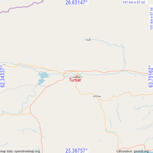
Turbat GPS coordinates[2]
26° 0' 4.392" North, 63° 2' 54.564" East
| Map corner | latitude | longitude |
|---|---|---|
| Upper-left | 26.63147°, | 62.34537° |
| Center: | 26.00122°, | 63.04849° |
| Lower-right: | 25.36757°, | 63.75162° |
| Map W x H: | 140.5×140.5 km | = 87.3×87.3mi |
| max Lat: | 36.32162° ⇑87.8% North |
| Turbat: | 26.00122° |
| min Lat: | ⇓12.2% South 24.14422° |
| min Long | Turbat | max Long |
| 61.74573° | 63.04849° | 75.63372° |
| W 0.5%⇐ | ⇒99.5% E |
Elevation
Elevation of Turbat is 146 m = 479 ft, and this is 199 m = 653 ft below average elevation for this country.
| Max E: |
2732 m = 8963 ft | 59.8% |
| Avg. | 345 m = 1132 ft | |
| Turbat | 146 m = 479 ft | |
Min E: |
3 m = 10 ft | 40.2% |
See also: Turbat elevation on elevation.city.
Geographical zone
Turbat is located in North temperate zone (between Tropic of Cancer and the Arctic Circle). Distance of this Northern Tropic circle is 285.1 km =177.2 mi to South.| Distance of | km | miles | from Turbat |
|---|---|---|---|
| North Pole | 7116 | 4421.7 | to North |
| Arctic Circle | 4510.1 | 2802.4 | to North |
| Tropic Cancer | 285.1 | 177.2 | to South |
| Equator | 2891.1 | 1796.4 | to South |


Nearby cities:
12 places around Turbat: (largest is in red/bold)
• Awaran
223.5 km =138.9 mi,  76°
76°
• Bela
326.8 km =203.1 mi,  85°
85°
• Dalbandin
347.9 km =216.2 mi,  22°
22°
• Gadani
382.3 km =237.6 mi,  104°
104°
• Gwadar
121.8 km =75.7 mi,  216°
216°
• Jiwani
168.2 km =104.5 mi,  230°
230°
• Kharan
370.4 km =230.2 mi,  39°
39°
• Khuzdar
406.5 km =252.6 mi,  60°
60°
• Ormara
181.9 km =113 mi,  118°
118°
• Panjgur
150 km =93.2 mi, 43°
• Pasni
92.3 km =57.4 mi,  152°
152°
• Uthal
358 km =222.5 mi, 93°
Sources, notices
• [Note1] Compared only with cities in Pakistan existing in our database
• [Src1] Map data: © OpenStreetMap contributors (CC-BY-SA)
• [Src2] Other city data from geonames.org with taken over terms of usage.
• [Src3] Geographical zone / Annual Mean Temperature by Robert A. Rohde @ Wikipedia
