Kharan geodata
Kharan (Balochistan) is a seat of a second-order administrative division; located in Pakistan in Asia/Karachi (GMT+5) time zone. With population of 30,841 people, there are 204 cities with bigger population in this country. Compared to other cities in Pakistan, 68.2% of cities are located further ↑North; 98.2% of cities are located further →East and 85.3% of cities have lower elevation than Kharan. Note1


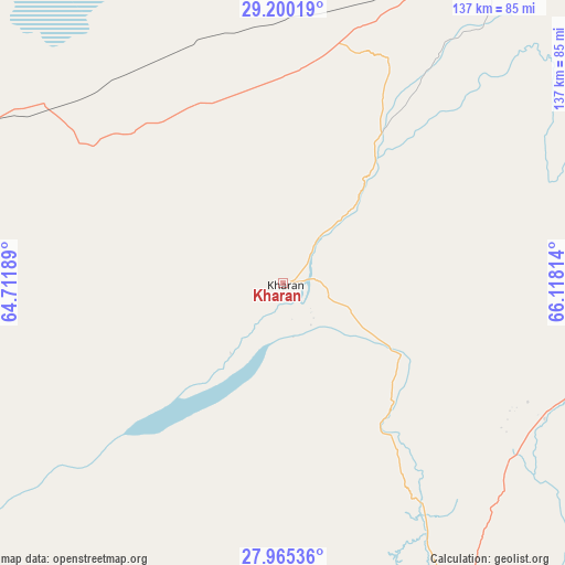
Kharan GPS coordinates[2]
28° 35' 4.524" North, 65° 24' 54.036" East
| Map corner | latitude | longitude |
|---|---|---|
| Upper-left | 29.20019°, | 64.71189° |
| Center: | 28.58459°, | 65.41501° |
| Lower-right: | 27.96536°, | 66.11814° |
| Map W x H: | 137.3×137.3 km | = 85.3×85.3mi |
| max Lat: | 36.32162° ⇑68.2% North |
| Kharan: | 28.58459° |
| min Lat: | ⇓31.8% South 24.14422° |
| min Long | Kharan | max Long |
| 61.74573° | 65.41501° | 75.63372° |
| W 1.8%⇐ | ⇒98.2% E |
Elevation
Elevation of Kharan is 722 m = 2369 ft, and this is 377 m = 1237 ft above average elevation for this country.
| Max E: |
2732 m = 8963 ft | 14.7% |
| Kharan | 722 m 2369 ft | |
| Avg. | 345 m = 1132 ft | |
Min E: |
3 m = 10 ft | 85.3% |
See also: Pakistan elevation on elevation.city.
Geographical zone
Kharan is located in North temperate zone (between Tropic of Cancer and the Arctic Circle). Distance of this Northern Tropic circle is 572.4 km =355.7 mi to South.| Distance of | km | miles | from Kharan |
|---|---|---|---|
| North Pole | 6828.8 | 4243.2 | to North |
| Arctic Circle | 4222.9 | 2624 | to North |
| Tropic Cancer | 572.4 | 355.7 | to South |
| Equator | 3178.3 | 1974.9 | to South |


Nearby cities:
15 places around Kharan: (largest is in red/bold)
• Awaran
237.3 km =147.5 mi,  184°
184°
• Bhag
240.1 km =149.2 mi,  77°
77°
• Chowki Jamali
253.2 km =157.3 mi,  104°
104°
• Dadhar
238.9 km =148.4 mi,  65°
65°
• Dalbandin
104 km =64.6 mi,  288°
288°
• Gandava
202.2 km =125.6 mi,  89°
89°
• Kalat
124.9 km =77.6 mi, 66°
• Khuzdar
145.3 km =90.3 mi,  126°
126°
• Kot Malik Barkhurdar
235.8 km =146.5 mi,  40°
40°
• Mach
234 km =145.4 mi,  52°
52°
• Mastung
193.7 km =120.4 mi, 45°
• Nushki
122.7 km =76.2 mi,  28°
28°
• Panjgur
221.4 km =137.6 mi,  215°
215°
• Quetta
235.1 km =146.1 mi, 40°
• Surab
83.2 km =51.7 mi, 97°
Sources, notices
• [Note1] Compared only with cities in Pakistan existing in our database
• [Src1] Map data: © OpenStreetMap contributors (CC-BY-SA)
• [Src2] Other city data from geonames.org with taken over terms of usage.
• [Src3] Geographical zone / Annual Mean Temperature by Robert A. Rohde @ Wikipedia
