Lahore geodata
Lahore (Punjab) is a seat of a first-order administrative division; located in Pakistan in Asia/Karachi (GMT+5) time zone. With population of 6,310,888 people, there is 1 city with bigger population in this country. Compared to other cities in Pakistan, 59.4% of cities are located further ↓South; 94.8% of cities are located further ←West and 63.9% of cities have lower elevation than Lahore. Note1


Lahore GPS coordinates[2]
31° 33' 28.8" North, 74° 21' 2.556" East
| Map corner | latitude | longitude |
|---|---|---|
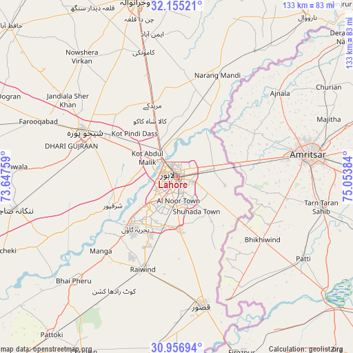
| Upper-left | 32.15521°, | 73.64759° |
| Center: | 31.558°, | 74.35071° |
| Lower-right: | 30.95694°, | 75.05384° |
| Map W x H: | 133.2×133.2 km | = 82.8×82.8mi |
| max Lat: | 36.32162° ⇑40.6% North |
| Lahore: | 31.558° |
| min Lat: | ⇓59.4% South 24.14422° |
| min Long | Lahore | max Long |
| 61.74573° | 74.35071° | 75.63372° |
| W 94.8%⇐ | ⇒5.2% E |
Elevation
Elevation of Lahore is 216 m = 709 ft, and this is 129 m = 423 ft below average elevation for this country.
| Max E: |
2732 m = 8963 ft | 36.1% |
| Avg. | 345 m = 1132 ft | |
| Lahore | 216 m = 709 ft | |
Min E: |
3 m = 10 ft | 63.9% |
See also: Lahore elevation on elevation.city.
Geographical zone
Lahore is located in North temperate zone (between Tropic of Cancer and the Arctic Circle). Distance of this Northern Tropic circle is 903 km =561.1 mi to South.| Distance of | km | miles | from Lahore |
|---|---|---|---|
| North Pole | 6498.1 | 4037.7 | to North |
| Arctic Circle | 3892.3 | 2418.6 | to North |
| Tropic Cancer | 903 | 561.1 | to South |
| Equator | 3508.9 | 2180.3 | to South |


Nearby cities:
15 places around Lahore: (largest is in red/bold)
• Chak Five Hundred Seventy-five
49.5 km =30.8 mi,  268°
268°
• Chuchar-kana Mandi
56.3 km =35 mi,  292°
292°
• Eminabad
54.5 km =33.9 mi,  350°
350°
• Jandiala Sher Khan
50.3 km =31.3 mi,  305°
305°
• Kahna Nau
21.3 km =13.2 mi,  175°
175°
• Kamoke
47.9 km =29.8 mi, 345°
• Kasur
49.8 km =30.9 mi,  169°
169°
• Kot Radha Kishan
49.1 km =30.5 mi,  208°
208°
• Mianke Mor
55 km =34.2 mi,  223°
223°
• Muridke
28.6 km =17.8 mi,  342°
342°
• Narang Mandi
41.5 km =25.8 mi,  22°
22°
• Raiwind
36.7 km =22.8 mi,  200°
200°
• Raja Jang
38.6 km =24 mi,  193°
193°
• Sharqpur Sharif
26 km =16.2 mi,  245°
245°
• Shekhupura
38.6 km =24 mi,  296°
296°
Sources, notices
• [Note1] Compared only with cities in Pakistan existing in our database
• [Src1] Map data: © OpenStreetMap contributors (CC-BY-SA)
• [Src2] Other city data from geonames.org with taken over terms of usage.
• [Src3] Geographical zone / Annual Mean Temperature by Robert A. Rohde @ Wikipedia
