Chak Two Hundred Forty-nine Thal Development Authority geodata
Chak Two Hundred Forty-nine Thal Development Authority (Punjab) is a populated place; located in Pakistan in Asia/Karachi (GMT+5) time zone. With population of 18,126 people, there are 283 cities with bigger population in this country. Compared to other cities in Pakistan, 55.5% of cities are located further ↓South; 52.4% of cities are located further →East and 57.8% of cities have higher elevation than Chak Two Hundred Forty-nine Thal Development Authority. Note1
Current local time in Chak Two Hundred Forty-nine Thal Development Authority:
01:42 AM, SaturdayDifference from your time zone: hours


Chak Two Hundred Forty-nine Thal Development Authority GPS coordinates[2]
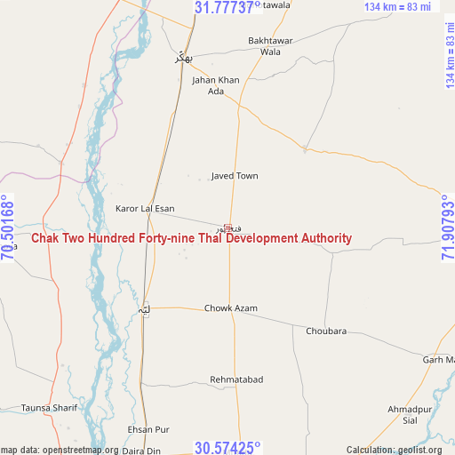
31° 10' 39.792" North, 71° 12' 17.28" East
| Map corner | latitude | longitude |
|---|---|---|
| Upper-left | 31.77737°, | 70.50168° |
| Center: | 31.17772°, | 71.2048° |
| Lower-right: | 30.57425°, | 71.90793° |
| Map W x H: | 133.8×133.8 km | = 83.1×83.1mi |
| max Lat: | 36.32162° ⇑44.5% North |
| Chak Two Hundred Forty-nine Thal Development Authority: | 31.17772° |
| min Lat: | ⇓55.5% South 24.14422° |
| min Long | Chak Two Hundre | max Long |
| 61.74573° | 71.2048° | 75.63372° |
| W 47.6%⇐ | ⇒52.4% E |
Elevation
Elevation of Chak Two Hundred Forty-nine Thal Development Authority is 156 m = 512 ft, and this is 189 m = 620 ft below average elevation for this country.
| Max E: |
2732 m = 8963 ft | 57.8% |
| Avg. | 345 m = 1132 ft | |
| Chak Two Hundred Forty-nine Thal Development Authority | 156 m = 512 ft | |
Min E: |
3 m = 10 ft | 42.2% |
See also: Pakistan elevation on elevation.city.
Geographical zone
Chak Two Hundred Forty-nine Thal Development Authority is located in North temperate zone (between Tropic of Cancer and the Arctic Circle). Distance of this Northern Tropic circle is 860.7 km =534.8 mi to South.| Distance of | km | miles | from Chak Two Hundred Forty-nine Thal Development Authority |
|---|---|---|---|
| North Pole | 6540.4 | 4064 | to North |
| Arctic Circle | 3934.5 | 2444.8 | to North |
| Tropic Cancer | 860.7 | 534.8 | to South |
| Equator | 3466.6 | 2154 | to South |


Nearby cities:
15 places around Chak Two Hundred Forty-nine Thal Development Authority: (largest is in red/bold)
• Ahmadpur Sial
75.7 km =47 mi,  137°
137°
• Bakhri Ahmad Khan
60.3 km =37.5 mi,  215°
215°
• Basti Aukharvand
55.8 km =34.7 mi, 216°
• Basti Dosa
53.9 km =33.5 mi, 216°
• Bhakkar
51.7 km =32.1 mi,  345°
345°
• Daira Din Panah
72.2 km =44.9 mi,  200°
200°
• Dajjal wala
53.8 km =33.4 mi,  214°
214°
• Darya Khan
68.2 km =42.4 mi, 351°
• Dullewala
76.2 km =47.3 mi,  16°
16°
• Karor
24.6 km =15.3 mi,  282°
282°
• Kot Sultan
51.9 km =32.2 mi, 210°
• Layyah
34.9 km =21.7 mi,  226°
226°
• Mankera
32.4 km =20.1 mi,  43°
43°
• Moza Shahwala
53.5 km =33.2 mi, 219°
• Taunsa
74.7 km =46.4 mi, 225°
Sources, notices
• [Note1] Compared only with cities in Pakistan existing in our database
• [Src1] Map data: © OpenStreetMap contributors (CC-BY-SA)
• [Src2] Other city data from geonames.org with taken over terms of usage.
• [Src3] Geographical zone / Annual Mean Temperature by Robert A. Rohde @ Wikipedia
