Mankera geodata
Mankera (Punjab) is a populated place; located in Pakistan in Asia/Karachi (GMT+5) time zone. With population of 10,819 people, there are 347 cities with bigger population in this country. Compared to other cities in Pakistan, 58% of cities are located further ↓South; 50.6% of cities are located further →East and 54.6% of cities have higher elevation than Mankera. Note1


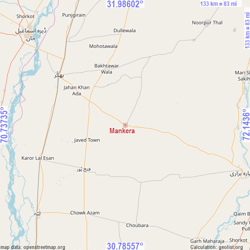
Mankera GPS coordinates[2]
31° 23' 15.756" North, 71° 26' 25.692" East
| Map corner | latitude | longitude |
|---|---|---|
| Upper-left | 31.98602°, | 70.73735° |
| Center: | 31.38771°, | 71.44047° |
| Lower-right: | 30.78557°, | 72.1436° |
| Map W x H: | 133.5×133.5 km | = 83×83mi |
| max Lat: | 36.32162° ⇑42% North |
| Mankera: | 31.38771° |
| min Lat: | ⇓58% South 24.14422° |
| min Long | Mankera | max Long |
| 61.74573° | 71.44047° | 75.63372° |
| W 49.4%⇐ | ⇒50.6% E |
Elevation
Elevation of Mankera is 163 m = 535 ft, and this is 182 m = 597 ft below average elevation for this country.
| Max E: |
2732 m = 8963 ft | 54.6% |
| Avg. | 345 m = 1132 ft | |
| Mankera | 163 m = 535 ft | |
Min E: |
3 m = 10 ft | 45.4% |
See also: Pakistan elevation on elevation.city.
Geographical zone
Mankera is located in North temperate zone (between Tropic of Cancer and the Arctic Circle). Distance of this Northern Tropic circle is 884.1 km =549.4 mi to South.| Distance of | km | miles | from Mankera |
|---|---|---|---|
| North Pole | 6517.1 | 4049.5 | to North |
| Arctic Circle | 3911.2 | 2430.3 | to North |
| Tropic Cancer | 884.1 | 549.4 | to South |
| Equator | 3490 | 2168.6 | to South |


Nearby cities:
15 places around Mankera: (largest is in red/bold)
• Ahmadpur Sial
84 km =52.2 mi,  159°
159°
• Bhakkar
44.5 km =27.7 mi,  306°
306°
• Chak Two Hundred Forty-nine Thal Development Authority
32.4 km =20.1 mi,  223°
223°
• Dajjal wala
85.9 km =53.4 mi, 217°
• Darya Khan
54.5 km =33.9 mi,  323°
323°
• Dera Ismail Khan
71 km =44.1 mi, 314°
• Dullewala
49.7 km =30.9 mi,  359°
359°
• Garh Maharaja
75.8 km =47.1 mi,  144°
144°
• Jhang City
84.6 km =52.6 mi,  96°
96°
• Jhang Sadr
84.3 km =52.4 mi, 98°
• Karor
49.9 km =31 mi,  248°
248°
• Kot Sultan
83.7 km =52 mi, 215°
• Layyah
67.3 km =41.8 mi,  225°
225°
• Moza Shahwala
85.8 km =53.3 mi, 221°
• Shorkot
78.8 km =49 mi, 317°
Sources, notices
• [Note1] Compared only with cities in Pakistan existing in our database
• [Src1] Map data: © OpenStreetMap contributors (CC-BY-SA)
• [Src2] Other city data from geonames.org with taken over terms of usage.
• [Src3] Geographical zone / Annual Mean Temperature by Robert A. Rohde @ Wikipedia
