Chawinda geodata
Chawinda (Punjab) is a populated place; located in Pakistan in Asia/Karachi (GMT+5) time zone. With population of 23,599 people, there are 248 cities with bigger population in this country. Compared to other cities in Pakistan, 72.5% of cities are located further ↓South; 98.6% of cities are located further ←West and 72.2% of cities have lower elevation than Chawinda. Note1


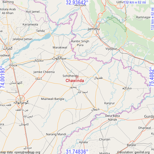
Chawinda GPS coordinates[2]
32° 20' 39.624" North, 74° 42' 18.252" East
| Map corner | latitude | longitude |
|---|---|---|
| Upper-left | 32.93642°, | 74.00195° |
| Center: | 32.34434°, | 74.70507° |
| Lower-right: | 31.74836°, | 75.4082° |
| Map W x H: | 132.1×132.1 km | = 82.1×82.1mi |
| max Lat: | 36.32162° ⇑27.5% North |
| Chawinda: | 32.34434° |
| min Lat: | ⇓72.5% South 24.14422° |
| min Long | Chawinda | max Long |
| 61.74573° | 74.70507° | 75.63372° |
| W 98.6%⇐ | ⇒1.4% E |
Elevation
Elevation of Chawinda is 255 m = 837 ft, and this is 90 m = 295 ft below average elevation for this country.
| Max E: |
2732 m = 8963 ft | 27.8% |
| Avg. | 345 m = 1132 ft | |
| Chawinda | 255 m = 837 ft | |
Min E: |
3 m = 10 ft | 72.2% |
See also: Pakistan elevation on elevation.city.
Geographical zone
Chawinda is located in North temperate zone (between Tropic of Cancer and the Arctic Circle). Distance of this Northern Tropic circle is 990.4 km =615.4 mi to South.| Distance of | km | miles | from Chawinda |
|---|---|---|---|
| North Pole | 6410.7 | 3983.4 | to North |
| Arctic Circle | 3804.8 | 2364.2 | to North |
| Tropic Cancer | 990.4 | 615.4 | to South |
| Equator | 3596.4 | 2234.7 | to South |


Nearby cities:
15 places around Chawinda: (largest is in red/bold)
• Baddomalhi
39.5 km =24.5 mi,  185°
185°
• Begowala
42.3 km =26.3 mi,  284°
284°
• Bhopalwala
33.4 km =20.8 mi,  286°
286°
• Daska Kalan
33.4 km =20.8 mi,  266°
266°
• Fazilpur
38.7 km =24 mi,  118°
118°
• Hadali
35.3 km =21.9 mi,  338°
338°
• Kalaswala
16.8 km =10.4 mi,  198°
198°
• Kot Ghulam Muhammad
14.9 km =9.3 mi, 265°
• Kot Rajkour
10.4 km =6.5 mi,  316°
316°
• Kotli Loharan
33.6 km =20.9 mi, 324°
• Narowal
31.2 km =19.4 mi,  149°
149°
• Pasrur
9.9 km =6.2 mi, 203°
• Sambrial
36.2 km =22.5 mi, 294°
• Sialkot
23.2 km =14.4 mi, 315°
• Zafarwal
18.3 km =11.4 mi,  89°
89°
Sources, notices
• [Note1] Compared only with cities in Pakistan existing in our database
• [Src1] Map data: © OpenStreetMap contributors (CC-BY-SA)
• [Src2] Other city data from geonames.org with taken over terms of usage.
• [Src3] Geographical zone / Annual Mean Temperature by Robert A. Rohde @ Wikipedia
