Truskolasy geodata
Truskolasy (Silesia) is a populated place; located in Poland in Europe/Warsaw (GMT+2) time zone. With population of 2,044 people, there are 1450 cities with bigger population in this country. Compared to other cities in Poland, 58.6% of cities are located further ↑North; 62.9% of cities are located further →East and 79.7% of cities have lower elevation than Truskolasy. Note1


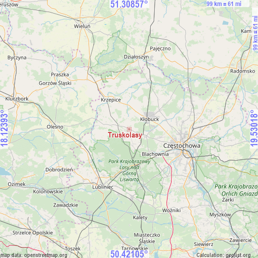
Truskolasy GPS coordinates[2]
50° 52' 0.912" North, 18° 49' 37.38" East
| Map corner | latitude | longitude |
|---|---|---|
| Upper-left | 51.30857°, | 18.12393° |
| Center: | 50.86692°, | 18.82705° |
| Lower-right: | 50.42105°, | 19.53018° |
| Map W x H: | 98.7×98.7 km | = 61.3×61.3mi |
| max Lat: | 54.83135° ⇑58.6% North |
| Truskolasy: | 50.86692° |
| min Lat: | ⇓41.4% South 49.21328° |
| min Long | Truskolasy | max Long |
| 14.20249° | 18.82705° | 24.03723° |
| W 37.1%⇐ | ⇒62.9% E |
Elevation
Elevation of Truskolasy is 264 m = 866 ft, and this is 72.6 m = 238 ft above average elevation for this country.
| Max E: |
974 m = 3196 ft | 20.3% |
| Truskolasy | 264 m 866 ft | |
| Avg. | 191.4 m = 628 ft | |
Min E: |
-3 m = -10 ft | 79.7% |
See also: Poland elevation on elevation.city.
Geographical zone
Truskolasy is located in North temperate zone (between Tropic of Cancer and the Arctic Circle). Distance of this North polar circle is 1745.3 km =1084.5 mi to North.| Distance of | km | miles | from Truskolasy |
|---|---|---|---|
| North Pole | 4351.2 | 2703.7 | to North |
| Arctic Circle | 1745.3 | 1084.5 | to North |
| Tropic Cancer | 3050 | 1895.2 | to South |
| Equator | 5655.9 | 3514.4 | to South |


Nearby cities:
15 places around Truskolasy: (largest is in red/bold)
• Biała Dolna
16.5 km =10.3 mi,  90°
90°
• Blachownia
13.6 km =8.5 mi,  135°
135°
• Herby
13.3 km =8.3 mi,  161°
161°
• Kalej
11.5 km =7.1 mi,  106°
106°
• Kamyk
14.7 km =9.1 mi,  74°
74°
• Krzepice
13.4 km =8.3 mi,  329°
329°
• Kłobuck
8.6 km =5.3 mi,  63°
63°
• Lipie
16.3 km =10.1 mi,  352°
352°
• Miedzno
15.7 km =9.8 mi,  43°
43°
• Opatów
9.9 km =6.2 mi,  356°
356°
• Panki
5.6 km =3.5 mi,  289°
289°
• Przystajń
9.7 km =6 mi,  281°
281°
• Starokrzepice
15.2 km =9.4 mi,  306°
306°
• Wręczyca Wielka
7 km =4.3 mi, 109°
• Łobodno
13.5 km =8.4 mi, 58°
Sources, notices
• [Note1] Compared only with cities in Poland existing in our database
• [Src1] Map data: © OpenStreetMap contributors (CC-BY-SA)
• [Src2] Other city data from geonames.org with taken over terms of usage.
• [Src3] Geographical zone / Annual Mean Temperature by Robert A. Rohde @ Wikipedia
