Sławno geodata
Sławno (West Pomerania) is a seat of a second-order administrative division; located in Poland in Europe/Warsaw (GMT+2) time zone. With population of 13,415 people, there are 364 cities with bigger population in this country. Compared to other cities in Poland, 98.2% of cities are located further ↓South; 88.2% of cities are located further →East and 97% of cities have higher elevation than Sławno. Note1


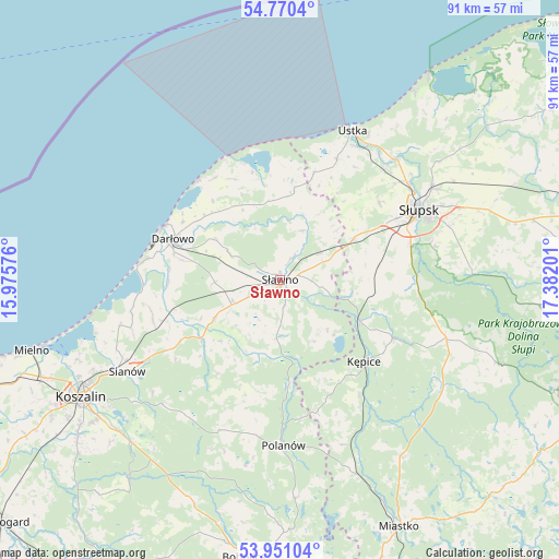
Sławno GPS coordinates[2]
54° 21' 45.936" North, 16° 40' 43.968" East
| Map corner | latitude | longitude |
|---|---|---|
| Upper-left | 54.7704°, | 15.97576° |
| Center: | 54.36276°, | 16.67888° |
| Lower-right: | 53.95104°, | 17.38201° |
| Map W x H: | 91.1×91.1 km | = 56.6×56.6mi |
| max Lat: | 54.83135° ⇑1.8% North |
| Sławno: | 54.36276° |
| min Lat: | ⇓98.2% South 49.21328° |
| min Long | Sławno | max Long |
| 14.20249° | 16.67888° | 24.03723° |
| W 11.8%⇐ | ⇒88.2% E |
Elevation
Elevation of Sławno is 21 m = 69 ft, and this is 170.4 m = 559 ft below average elevation for this country.
| Max E: |
974 m = 3196 ft | 97% |
| Avg. | 191.4 m = 628 ft | |
| Sławno | 21 m = 69 ft | |
Min E: |
-3 m = -10 ft | 3% |
See also: Poland elevation on elevation.city.
Geographical zone
Sławno is located in North temperate zone (between Tropic of Cancer and the Arctic Circle). Distance of this North polar circle is 1356.6 km =843 mi to North.| Distance of | km | miles | from Sławno |
|---|---|---|---|
| North Pole | 3962.5 | 2462.2 | to North |
| Arctic Circle | 1356.6 | 843 | to North |
| Tropic Cancer | 3438.7 | 2136.7 | to South |
| Equator | 6044.6 | 3755.9 | to South |


Nearby cities:
15 places around Sławno: (largest is in red/bold)
• Barcino
20.7 km =12.9 mi,  117°
117°
• Darłowo
18.5 km =11.5 mi,  290°
290°
• Dębnica Kaszubska
31.3 km =19.4 mi,  86°
86°
• Jamno
35.5 km =22.1 mi,  248°
248°
• Kobylnica
22.3 km =13.9 mi,  67°
67°
• Kępice
19.2 km =11.9 mi,  134°
134°
• Malechowo
12.2 km =7.6 mi,  240°
240°
• Objazda
36 km =22.4 mi,  40°
40°
• Ostrowiec
9.7 km =6 mi,  183°
183°
• Polanów
27.1 km =16.8 mi, 179°
• Postomino
14.7 km =9.1 mi,  8°
8°
• Sianów
29.4 km =18.3 mi, 238°
• Słupsk
25.3 km =15.7 mi,  63°
63°
• Trzebielino
32.1 km =19.9 mi, 124°
• Ustka
26.9 km =16.7 mi,  26°
26°
Sources, notices
• [Note1] Compared only with cities in Poland existing in our database
• [Src1] Map data: © OpenStreetMap contributors (CC-BY-SA)
• [Src2] Other city data from geonames.org with taken over terms of usage.
• [Src3] Geographical zone / Annual Mean Temperature by Robert A. Rohde @ Wikipedia
