Regulice geodata
Regulice (Lesser Poland) is a populated place; located in Poland in Europe/Warsaw (GMT+2) time zone. With population of 1,882 people, there are 1571 cities with bigger population in this country. Compared to other cities in Poland, 78.7% of cities are located further ↑North; 50.6% of cities are located further →East and 79.4% of cities have lower elevation than Regulice. Note1


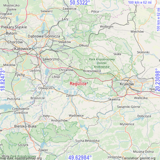
Regulice GPS coordinates[2]
50° 4' 59.304" North, 19° 31' 40.26" East
| Map corner | latitude | longitude |
|---|---|---|
| Upper-left | 50.5322°, | 18.82473° |
| Center: | 50.08314°, | 19.52785° |
| Lower-right: | 49.62984°, | 20.23098° |
| Map W x H: | 100.3×100.3 km | = 62.3×62.3mi |
| max Lat: | 54.83135° ⇑78.7% North |
| Regulice: | 50.08314° |
| min Lat: | ⇓21.3% South 49.21328° |
| min Long | Regulice | max Long |
| 14.20249° | 19.52785° | 24.03723° |
| W 49.4%⇐ | ⇒50.6% E |
Elevation
Elevation of Regulice is 263 m = 863 ft, and this is 71.6 m = 235 ft above average elevation for this country.
| Max E: |
974 m = 3196 ft | 20.6% |
| Regulice | 263 m 863 ft | |
| Avg. | 191.4 m = 628 ft | |
Min E: |
-3 m = -10 ft | 79.4% |
See also: Poland elevation on elevation.city.
Geographical zone
Regulice is located in North temperate zone (between Tropic of Cancer and the Arctic Circle). Distance of this North polar circle is 1832.5 km =1138.7 mi to North.| Distance of | km | miles | from Regulice |
|---|---|---|---|
| North Pole | 4438.3 | 2757.8 | to North |
| Arctic Circle | 1832.5 | 1138.7 | to North |
| Tropic Cancer | 2962.8 | 1841 | to South |
| Equator | 5568.7 | 3460.2 | to South |


Nearby cities:
15 places around Regulice: (largest is in red/bold)
• Alwernia
2.6 km =1.6 mi,  161°
161°
• Babice
5.8 km =3.6 mi,  254°
254°
• Bolęcin
5.1 km =3.2 mi,  318°
318°
• Brodła
6.2 km =3.9 mi,  135°
135°
• Grojec
2.2 km =1.4 mi,  70°
70°
• Kwaczała
3.3 km =2.1 mi,  230°
230°
• Okleśna
5.8 km =3.6 mi,  177°
177°
• Olszyny
6.3 km =3.9 mi,  238°
238°
• Piła Kościelecka
7.1 km =4.4 mi, 319°
• Płaza
4.9 km =3 mi,  292°
292°
• Rozkochów
5 km =3.1 mi,  212°
212°
• Rudno
3.9 km =2.4 mi,  62°
62°
• Tenczynek
7.3 km =4.5 mi, 56°
• Wola Filipowska
6.8 km =4.2 mi,  33°
33°
• Zalas
6.7 km =4.2 mi,  92°
92°
Sources, notices
• [Note1] Compared only with cities in Poland existing in our database
• [Src1] Map data: © OpenStreetMap contributors (CC-BY-SA)
• [Src2] Other city data from geonames.org with taken over terms of usage.
• [Src3] Geographical zone / Annual Mean Temperature by Robert A. Rohde @ Wikipedia
