Łysomice geodata
Łysomice (Kujawsko-Pomorskie) is a seat of a third-order administrative division; located in Poland in Europe/Warsaw (GMT+2) time zone. With population of 1,100 people, there are 2307 cities with bigger population in this country. Compared to other cities in Poland, 84.7% of cities are located further ↓South; 66.2% of cities are located further →East and 88.4% of cities have higher elevation than Łysomice. Note1


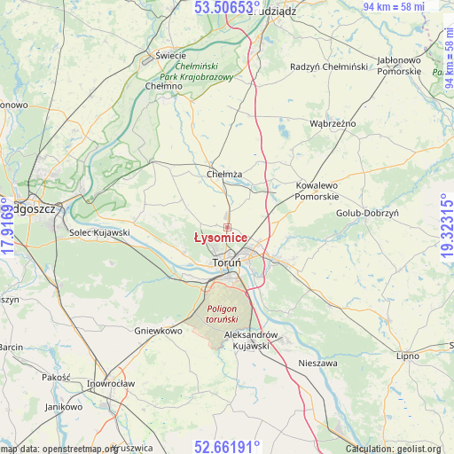
Łysomice GPS coordinates[2]
53° 5' 10.644" North, 18° 37' 12.072" East
| Map corner | latitude | longitude |
|---|---|---|
| Upper-left | 53.50653°, | 17.9169° |
| Center: | 53.08629°, | 18.62002° |
| Lower-right: | 52.66191°, | 19.32315° |
| Map W x H: | 93.9×93.9 km | = 58.3×58.3mi |
| max Lat: | 54.83135° ⇑15.3% North |
| Łysomice: | 53.08629° |
| min Lat: | ⇓84.7% South 49.21328° |
| min Long | Łysomice | max Long |
| 14.20249° | 18.62002° | 24.03723° |
| W 33.8%⇐ | ⇒66.2% E |
Elevation
Elevation of Łysomice is 80 m = 262 ft, and this is 111.4 m = 365 ft below average elevation for this country.
| Max E: |
974 m = 3196 ft | 88.4% |
| Avg. | 191.4 m = 628 ft | |
| Łysomice | 80 m = 262 ft | |
Min E: |
-3 m = -10 ft | 11.6% |
See also: Poland elevation on elevation.city.
Geographical zone
Łysomice is located in North temperate zone (between Tropic of Cancer and the Arctic Circle). Distance of this North polar circle is 1498.5 km =931.1 mi to North.| Distance of | km | miles | from Łysomice |
|---|---|---|---|
| North Pole | 4104.4 | 2550.4 | to North |
| Arctic Circle | 1498.5 | 931.1 | to North |
| Tropic Cancer | 3296.7 | 2048.5 | to South |
| Equator | 5902.6 | 3667.7 | to South |


Nearby cities:
15 places around Łysomice: (largest is in red/bold)
• Chełmża
11 km =6.8 mi,  354°
354°
• Ciechocin
20.7 km =12.9 mi,  99°
99°
• Kowalewo Pomorskie
20.1 km =12.5 mi,  67°
67°
• Lubicz Dolny
10.4 km =6.5 mi,  125°
125°
• Lubicz Górny
12.1 km =7.5 mi,  123°
123°
• Obrowo
21.5 km =13.4 mi, 126°
• Osiek
21.8 km =13.5 mi,  144°
144°
• Papowo Biskupie
18.4 km =11.4 mi, 348°
• Skąpe
14.5 km =9 mi,  358°
358°
• Toporzysko
21.9 km =13.6 mi,  273°
273°
• Toruń
8.2 km =5.1 mi,  190°
190°
• Unisław
21 km =13 mi,  311°
311°
• Wielka Nieszawka
12.4 km =7.7 mi,  216°
216°
• Zławieś Wielka
19.5 km =12.1 mi, 273°
• Łubianka
10.9 km =6.8 mi,  302°
302°
Sources, notices
• [Note1] Compared only with cities in Poland existing in our database
• [Src1] Map data: © OpenStreetMap contributors (CC-BY-SA)
• [Src2] Other city data from geonames.org with taken over terms of usage.
• [Src3] Geographical zone / Annual Mean Temperature by Robert A. Rohde @ Wikipedia
