Kaliska geodata
Kaliska (Kujawsko-Pomorskie) is a populated place; located in Poland in Europe/Warsaw (GMT+2) time zone. With population of 617 people, there are 3236 cities with bigger population in this country. Compared to other cities in Poland, 74.9% of cities are located further ↓South; 57.9% of cities are located further →East and 68.6% of cities have higher elevation than Kaliska. Note1
Administrative division(s):
- Level 1: Kujawsko-Pomorskie
- Level 2: Powiat włocławski
- Level 3: Lubień Kujawski


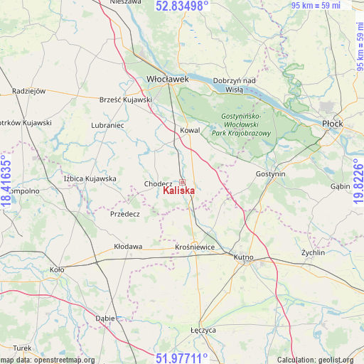
Kaliska GPS coordinates[2]
52° 24' 29.268" North, 19° 7' 10.092" East
| Map corner | latitude | longitude |
|---|---|---|
| Upper-left | 52.83498°, | 18.41635° |
| Center: | 52.40813°, | 19.11947° |
| Lower-right: | 51.97711°, | 19.8226° |
| Map W x H: | 95.4×95.4 km | = 59.3×59.3mi |
| max Lat: | 54.83135° ⇑25.1% North |
| Kaliska: | 52.40813° |
| min Lat: | ⇓74.9% South 49.21328° |
| min Long | Kaliska | max Long |
| 14.20249° | 19.11947° | 24.03723° |
| W 42.1%⇐ | ⇒57.9% E |
Elevation
Elevation of Kaliska is 124 m = 407 ft, and this is 67.4 m = 221 ft below average elevation for this country.
| Max E: |
974 m = 3196 ft | 68.6% |
| Avg. | 191.4 m = 628 ft | |
| Kaliska | 124 m = 407 ft | |
Min E: |
-3 m = -10 ft | 31.4% |
See also: Poland elevation on elevation.city.
Geographical zone
Kaliska is located in North temperate zone (between Tropic of Cancer and the Arctic Circle). Distance of this North polar circle is 1573.9 km =978 mi to North.| Distance of | km | miles | from Kaliska |
|---|---|---|---|
| North Pole | 4179.8 | 2597.2 | to North |
| Arctic Circle | 1573.9 | 978 | to North |
| Tropic Cancer | 3221.3 | 2001.6 | to South |
| Equator | 5827.2 | 3620.9 | to South |


Nearby cities:
15 places around Kaliska: (largest is in red/bold)
• Baruchowo
13.7 km =8.5 mi,  45°
45°
• Boniewo
16.7 km =10.4 mi,  292°
292°
• Choceń
11.3 km =7 mi,  320°
320°
• Chodecz
6.2 km =3.9 mi,  266°
266°
• Chodów
19.1 km =11.9 mi,  202°
202°
• Czerniewice
11.7 km =7.3 mi,  349°
349°
• Dąbrowice
11 km =6.8 mi,  192°
192°
• Kowal
13.7 km =8.5 mi,  8°
8°
• Krośniewice
17.3 km =10.7 mi,  168°
168°
• Lubień Kujawski
3.1 km =1.9 mi,  94°
94°
• Nowe Ostrowy
12.7 km =7.9 mi,  157°
157°
• Ostrowy
11.9 km =7.4 mi, 164°
• Przedecz
17.1 km =10.6 mi,  241°
241°
• Strzelce
22.1 km =13.7 mi,  117°
117°
• Łanięta
12.1 km =7.5 mi, 115°
Sources, notices
• [Note1] Compared only with cities in Poland existing in our database
• [Src1] Map data: © OpenStreetMap contributors (CC-BY-SA)
• [Src2] Other city data from geonames.org with taken over terms of usage.
• [Src3] Geographical zone / Annual Mean Temperature by Robert A. Rohde @ Wikipedia
