Gubin geodata
Gubin (Lubusz) is a seat of a third-order administrative division; located in Poland in Europe/Warsaw (GMT+2) time zone. With population of 16,629 people, there are 299 cities with bigger population in this country. Compared to other cities in Poland, 64.6% of cities are located further ↓South; 99.1% of cities are located further →East and 94.8% of cities have higher elevation than Gubin. Note1


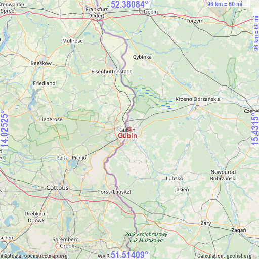
Gubin GPS coordinates[2]
51° 56' 58.416" North, 14° 43' 42.132" East
| Map corner | latitude | longitude |
|---|---|---|
| Upper-left | 52.38084°, | 14.02525° |
| Center: | 51.94956°, | 14.72837° |
| Lower-right: | 51.51409°, | 15.4315° |
| Map W x H: | 96.4×96.4 km | = 59.9×59.9mi |
| max Lat: | 54.83135° ⇑35.4% North |
| Gubin: | 51.94956° |
| min Lat: | ⇓64.6% South 49.21328° |
| min Long | Gubin | max Long |
| 14.20249° | 14.72837° | 24.03723° |
| W 0.9%⇐ | ⇒99.1% E |
Elevation
Elevation of Gubin is 45 m = 148 ft, and this is 146.4 m = 480 ft below average elevation for this country.
| Max E: |
974 m = 3196 ft | 94.8% |
| Avg. | 191.4 m = 628 ft | |
| Gubin | 45 m = 148 ft | |
Min E: |
-3 m = -10 ft | 5.2% |
See also: Poland elevation on elevation.city.
Geographical zone
Gubin is located in North temperate zone (between Tropic of Cancer and the Arctic Circle). Distance of this North polar circle is 1624.9 km =1009.7 mi to North.| Distance of | km | miles | from Gubin |
|---|---|---|---|
| North Pole | 4230.8 | 2628.9 | to North |
| Arctic Circle | 1624.9 | 1009.7 | to North |
| Tropic Cancer | 3170.3 | 1969.9 | to South |
| Equator | 5776.2 | 3589.2 | to South |


Nearby cities:
15 places around Gubin: (largest is in red/bold)
• Bobrowice
24.8 km =15.4 mi,  90°
90°
• Brody
18 km =11.2 mi,  170°
170°
• Bytnica
37.5 km =23.3 mi,  53°
53°
• Cybinka
27.6 km =17.1 mi,  9°
9°
• Dychów
23.1 km =14.4 mi,  79°
79°
• Dąbie
29.8 km =18.5 mi, 76°
• Jasień
29.5 km =18.3 mi,  138°
138°
• Krosno Odrzańskie
27.9 km =17.3 mi,  65°
65°
• Lipinki Łużyckie
39.2 km =24.4 mi,  151°
151°
• Lubsko
24.8 km =15.4 mi, 137°
• Maszewo
18 km =11.2 mi,  42°
42°
• Nowogród Bobrzański
38.6 km =24 mi,  115°
115°
• Osiecznica
26.2 km =16.3 mi,  57°
57°
• Trzebiel
35.5 km =22.1 mi, 170°
• Tuplice
31.2 km =19.4 mi, 167°
Sources, notices
• [Note1] Compared only with cities in Poland existing in our database
• [Src1] Map data: © OpenStreetMap contributors (CC-BY-SA)
• [Src2] Other city data from geonames.org with taken over terms of usage.
• [Src3] Geographical zone / Annual Mean Temperature by Robert A. Rohde @ Wikipedia
