Bobrowice geodata
Bobrowice (Lubusz) is a seat of a third-order administrative division; located in Poland in Europe/Warsaw (GMT+2) time zone. With population of 884 people, there are 2704 cities with bigger population in this country. Compared to other cities in Poland, 64.6% of cities are located further ↓South; 97.4% of cities are located further →East and 92.5% of cities have higher elevation than Bobrowice. Note1


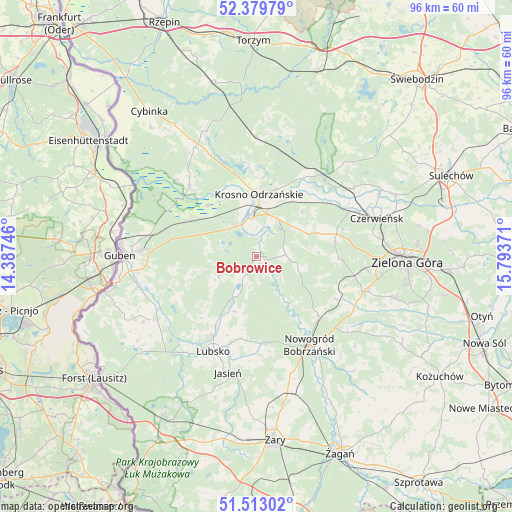
Bobrowice GPS coordinates[2]
51° 56' 54.6" North, 15° 5' 26.088" East
| Map corner | latitude | longitude |
|---|---|---|
| Upper-left | 52.37979°, | 14.38746° |
| Center: | 51.9485°, | 15.09058° |
| Lower-right: | 51.51302°, | 15.79371° |
| Map W x H: | 96.4×96.4 km | = 59.9×59.9mi |
| max Lat: | 54.83135° ⇑35.4% North |
| Bobrowice: | 51.9485° |
| min Lat: | ⇓64.6% South 49.21328° |
| min Long | Bobrowice | max Long |
| 14.20249° | 15.09058° | 24.03723° |
| W 2.6%⇐ | ⇒97.4% E |
Elevation
Elevation of Bobrowice is 62 m = 203 ft, and this is 129.4 m = 425 ft below average elevation for this country.
| Max E: |
974 m = 3196 ft | 92.5% |
| Avg. | 191.4 m = 628 ft | |
| Bobrowice | 62 m = 203 ft | |
Min E: |
-3 m = -10 ft | 7.5% |
See also: Poland elevation on elevation.city.
Geographical zone
Bobrowice is located in North temperate zone (between Tropic of Cancer and the Arctic Circle). Distance of this North polar circle is 1625 km =1009.7 mi to North.| Distance of | km | miles | from Bobrowice |
|---|---|---|---|
| North Pole | 4230.9 | 2629 | to North |
| Arctic Circle | 1625 | 1009.7 | to North |
| Tropic Cancer | 3170.2 | 1969.9 | to South |
| Equator | 5776.1 | 3589.1 | to South |


Nearby cities:
15 places around Bobrowice: (largest is in red/bold)
• Bytnica
23.1 km =14.4 mi,  13°
13°
• Czerwieńsk
23.9 km =14.9 mi,  72°
72°
• Dychów
4.7 km =2.9 mi,  334°
334°
• Dąbie
8.1 km =5 mi,  31°
31°
• Gubin
24.8 km =15.4 mi,  270°
270°
• Jasień
22.5 km =14 mi,  193°
193°
• Kaczeniec
22 km =13.7 mi,  128°
128°
• Krosno Odrzańskie
11.8 km =7.3 mi,  2°
2°
• Lubsko
20 km =12.4 mi,  204°
204°
• Maszewo
18.4 km =11.4 mi,  316°
316°
• Niwiska
25.1 km =15.6 mi,  124°
124°
• Nowogród Bobrzański
19.4 km =12.1 mi,  149°
149°
• Osiecznica
14.5 km =9 mi,  349°
349°
• Ploty
22.5 km =14 mi,  79°
79°
• Świdnica
21.6 km =13.4 mi,  108°
108°
Sources, notices
• [Note1] Compared only with cities in Poland existing in our database
• [Src1] Map data: © OpenStreetMap contributors (CC-BY-SA)
• [Src2] Other city data from geonames.org with taken over terms of usage.
• [Src3] Geographical zone / Annual Mean Temperature by Robert A. Rohde @ Wikipedia
