Brzeźnica geodata
Brzeźnica (Lower Silesia) is a populated place; located in Poland in Europe/Warsaw (GMT+2) time zone. With population of 649 people, there are 3171 cities with bigger population in this country. Compared to other cities in Poland, 66.4% of cities are located further ↑North; 87.8% of cities are located further →East and 87.5% of cities have lower elevation than Brzeźnica. Note1


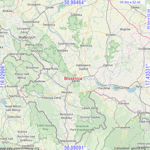
Brzeźnica GPS coordinates[2]
50° 32' 23.604" North, 16° 43' 55.848" East
| Map corner | latitude | longitude |
|---|---|---|
| Upper-left | 50.98464°, | 16.02906° |
| Center: | 50.53989°, | 16.73218° |
| Lower-right: | 50.09091°, | 17.43531° |
| Map W x H: | 99.4×99.4 km | = 61.8×61.8mi |
| max Lat: | 54.83135° ⇑66.4% North |
| Brzeźnica: | 50.53989° |
| min Lat: | ⇓33.6% South 49.21328° |
| min Long | Brzeźnica | max Long |
| 14.20249° | 16.73218° | 24.03723° |
| W 12.2%⇐ | ⇒87.8% E |
Elevation
Elevation of Brzeźnica is 305 m = 1001 ft, and this is 113.6 m = 373 ft above average elevation for this country.
| Max E: |
974 m = 3196 ft | 12.5% |
| Brzeźnica | 305 m 1001 ft | |
| Avg. | 191.4 m = 628 ft | |
Min E: |
-3 m = -10 ft | 87.5% |
See also: Poland elevation on elevation.city.
Geographical zone
Brzeźnica is located in North temperate zone (between Tropic of Cancer and the Arctic Circle). Distance of this North polar circle is 1781.7 km =1107.1 mi to North.| Distance of | km | miles | from Brzeźnica |
|---|---|---|---|
| North Pole | 4387.6 | 2726.3 | to North |
| Arctic Circle | 1781.7 | 1107.1 | to North |
| Tropic Cancer | 3013.6 | 1872.6 | to South |
| Equator | 5619.5 | 3491.8 | to South |


Nearby cities:
15 places around Brzeźnica: (largest is in red/bold)
• Bardo
3.8 km =2.4 mi,  171°
171°
• Bierkowice
11.7 km =7.3 mi,  231°
231°
• Bobolice
12.8 km =8 mi,  44°
44°
• Bozkow
11.5 km =7.1 mi,  254°
254°
• Budzów
6.1 km =3.8 mi,  345°
345°
• Jodłownik
14.4 km =8.9 mi,  324°
324°
• Kamieniec Ząbkowicki
10.5 km =6.5 mi,  98°
98°
• Kłodzko
12.7 km =7.9 mi,  203°
203°
• Ostroszowice
13.5 km =8.4 mi,  330°
330°
• Przyłęk
4 km =2.5 mi,  125°
125°
• Stoszowice
6.7 km =4.2 mi,  4°
4°
• Tarnów
5.9 km =3.7 mi, 43°
• Wojciechowice
9.7 km =6 mi,  191°
191°
• Ząbkowice Śląskie
7.9 km =4.9 mi,  45°
45°
• Złoty Stok
14.7 km =9.1 mi,  136°
136°
Sources, notices
• [Note1] Compared only with cities in Poland existing in our database
• [Src1] Map data: © OpenStreetMap contributors (CC-BY-SA)
• [Src2] Other city data from geonames.org with taken over terms of usage.
• [Src3] Geographical zone / Annual Mean Temperature by Robert A. Rohde @ Wikipedia
