Wisznia Mała geodata
Wisznia Mała (Lower Silesia) is a populated place; located in Poland in Europe/Warsaw (GMT+2) time zone. With population of 504 people, there are 3531 cities with bigger population in this country. Compared to other cities in Poland, 52% of cities are located further ↓South; 84% of cities are located further →East and 61.5% of cities have higher elevation than Wisznia Mała. Note1


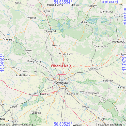
Wisznia Mała GPS coordinates[2]
51° 14' 51.072" North, 17° 2' 41.172" East
| Map corner | latitude | longitude |
|---|---|---|
| Upper-left | 51.68554°, | 16.34165° |
| Center: | 51.24752°, | 17.04477° |
| Lower-right: | 50.80529°, | 17.7479° |
| Map W x H: | 97.9×97.9 km | = 60.8×60.8mi |
| max Lat: | 54.83135° ⇑48% North |
| Wisznia Mała: | 51.24752° |
| min Lat: | ⇓52% South 49.21328° |
| min Long | Wisznia Mała | max Long |
| 14.20249° | 17.04477° | 24.03723° |
| W 16%⇐ | ⇒84% E |
Elevation
Elevation of Wisznia Mała is 143 m = 469 ft, and this is 48.4 m = 159 ft below average elevation for this country.
| Max E: |
974 m = 3196 ft | 61.5% |
| Avg. | 191.4 m = 628 ft | |
| Wisznia Mała | 143 m = 469 ft | |
Min E: |
-3 m = -10 ft | 38.5% |
See also: Poland elevation on elevation.city.
Geographical zone
Wisznia Mała is located in North temperate zone (between Tropic of Cancer and the Arctic Circle). Distance of this North polar circle is 1703 km =1058.2 mi to North.| Distance of | km | miles | from Wisznia Mała |
|---|---|---|---|
| North Pole | 4308.9 | 2677.4 | to North |
| Arctic Circle | 1703 | 1058.2 | to North |
| Tropic Cancer | 3092.3 | 1921.5 | to South |
| Equator | 5698.2 | 3540.7 | to South |


Nearby cities:
15 places around Wisznia Mała: (largest is in red/bold)
• Karłowice
11.8 km =7.3 mi,  177°
177°
• Maślice Wielkie
12.4 km =7.7 mi,  220°
220°
• Oborniki Śląskie
10.9 km =6.8 mi,  303°
303°
• Pawłowice-Kłokoczyce
9.9 km =6.2 mi,  157°
157°
• Poświętne
10.1 km =6.3 mi,  186°
186°
• Pracze Odrzańskie-Janówek
11.6 km =7.2 mi,  235°
235°
• Psary
6.8 km =4.2 mi, 187°
• Psie Pole Południe-Kiełczów
12.5 km =7.8 mi,  152°
152°
• Psie Pole Północ
11.4 km =7.1 mi, 156°
• Różanka-Polanka
11.7 km =7.3 mi, 188°
• Sołtysowice
10.7 km =6.6 mi,  170°
170°
• Szczodre
11.2 km =7 mi,  121°
121°
• Trzebnica
7.1 km =4.4 mi,  10°
10°
• Widawa-Lipa Piotrowska-Polanowice
8.7 km =5.4 mi, 190°
• Zakrzów
11.1 km =6.9 mi,  144°
144°
Sources, notices
• [Note1] Compared only with cities in Poland existing in our database
• [Src1] Map data: © OpenStreetMap contributors (CC-BY-SA)
• [Src2] Other city data from geonames.org with taken over terms of usage.
• [Src3] Geographical zone / Annual Mean Temperature by Robert A. Rohde @ Wikipedia
