Piątnica geodata
Piątnica (Podlasie) is a populated place; located in Poland in Europe/Warsaw (GMT+2) time zone. With population of 1,800 people, there are 1605 cities with bigger population in this country. Compared to other cities in Poland, 86.3% of cities are located further ↓South; 86% of cities are located further ←West and 77.6% of cities have higher elevation than Piątnica. Note1


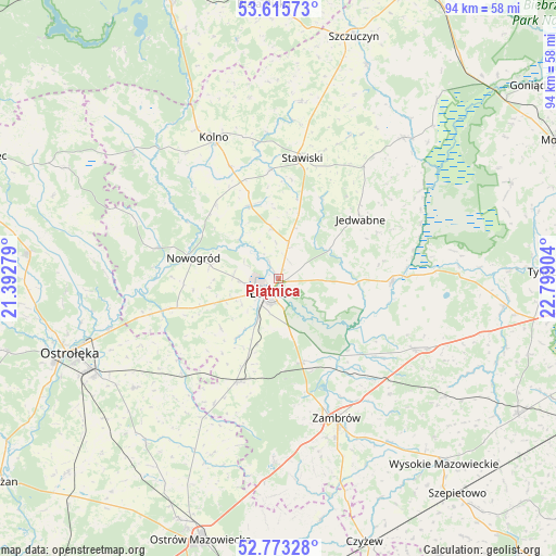
Piątnica GPS coordinates[2]
53° 11' 47.652" North, 22° 5' 45.276" East
| Map corner | latitude | longitude |
|---|---|---|
| Upper-left | 53.61573°, | 21.39279° |
| Center: | 53.19657°, | 22.09591° |
| Lower-right: | 52.77328°, | 22.79904° |
| Map W x H: | 93.7×93.7 km | = 58.2×58.2mi |
| max Lat: | 54.83135° ⇑13.7% North |
| Piątnica: | 53.19657° |
| min Lat: | ⇓86.3% South 49.21328° |
| min Long | Piątnica | max Long |
| 14.20249° | 22.09591° | 24.03723° |
| W 86%⇐ | ⇒14% E |
Elevation
Elevation of Piątnica is 104 m = 341 ft, and this is 87.4 m = 287 ft below average elevation for this country.
| Max E: |
974 m = 3196 ft | 77.6% |
| Avg. | 191.4 m = 628 ft | |
| Piątnica | 104 m = 341 ft | |
Min E: |
-3 m = -10 ft | 22.4% |
See also: Poland elevation on elevation.city.
Geographical zone
Piątnica is located in North temperate zone (between Tropic of Cancer and the Arctic Circle). Distance of this North polar circle is 1486.3 km =923.5 mi to North.| Distance of | km | miles | from Piątnica |
|---|---|---|---|
| North Pole | 4092.2 | 2542.8 | to North |
| Arctic Circle | 1486.3 | 923.5 | to North |
| Tropic Cancer | 3309 | 2056.1 | to South |
| Equator | 5914.9 | 3675.3 | to South |


Nearby cities:
15 places around Piątnica: (largest is in red/bold)
• Czarnocin
2.3 km =1.4 mi,  326°
326°
• Gać
16.4 km =10.2 mi,  142°
142°
• Janowo
21 km =13 mi, 325°
• Jedwabne
17 km =10.6 mi,  54°
54°
• Mały Płock
12.7 km =7.9 mi,  339°
339°
• Miastkowo
19.4 km =12.1 mi,  254°
254°
• Nowogród
14.6 km =9.1 mi,  283°
283°
• Rutki
24.9 km =15.5 mi,  115°
115°
• Rutki-Kossaki
25.9 km =16.1 mi, 117°
• Stawiski
20.8 km =12.9 mi,  10°
10°
• Wizna
19.1 km =11.9 mi,  90°
90°
• Zambrów
25.4 km =15.8 mi,  157°
157°
• Zbójna
21.1 km =13.1 mi, 284°
• Łomża
3.2 km =2 mi,  229°
229°
• Śniadowo
18.9 km =11.7 mi,  201°
201°
Sources, notices
• [Note1] Compared only with cities in Poland existing in our database
• [Src1] Map data: © OpenStreetMap contributors (CC-BY-SA)
• [Src2] Other city data from geonames.org with taken over terms of usage.
• [Src3] Geographical zone / Annual Mean Temperature by Robert A. Rohde @ Wikipedia
