Kasina Wielka geodata
Kasina Wielka (Lesser Poland) is a populated place; located in Poland in Europe/Warsaw (GMT+2) time zone. With population of 2,800 people, there are 1120 cities with bigger population in this country. Compared to other cities in Poland, 93.6% of cities are located further ↑North; 60.6% of cities are located further ←West and 97.5% of cities have lower elevation than Kasina Wielka. Note1


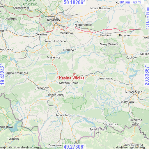
Kasina Wielka GPS coordinates[2]
49° 43' 46.884" North, 20° 8' 7.944" East
| Map corner | latitude | longitude |
|---|---|---|
| Upper-left | 50.18206°, | 19.43242° |
| Center: | 49.72969°, | 20.13554° |
| Lower-right: | 49.27306°, | 20.83867° |
| Map W x H: | 101.1×101.1 km | = 62.8×62.8mi |
| max Lat: | 54.83135° ⇑93.6% North |
| Kasina Wielka: | 49.72969° |
| min Lat: | ⇓6.4% South 49.21328° |
| min Long | Kasina Wielka | max Long |
| 14.20249° | 20.13554° | 24.03723° |
| W 60.6%⇐ | ⇒39.4% E |
Elevation
Elevation of Kasina Wielka is 496 m = 1627 ft, and this is 304.6 m = 999 ft above average elevation for this country.
| Max E: |
974 m = 3196 ft | 2.5% |
| Kasina Wielka | 496 m 1627 ft | |
| Avg. | 191.4 m = 628 ft | |
Min E: |
-3 m = -10 ft | 97.5% |
See also: Poland elevation on elevation.city.
Geographical zone
Kasina Wielka is located in North temperate zone (between Tropic of Cancer and the Arctic Circle). Distance of this North polar circle is 1871.8 km =1163.1 mi to North.| Distance of | km | miles | from Kasina Wielka |
|---|---|---|---|
| North Pole | 4477.6 | 2782.3 | to North |
| Arctic Circle | 1871.8 | 1163.1 | to North |
| Tropic Cancer | 2923.5 | 1816.6 | to South |
| Equator | 5529.4 | 3435.8 | to South |


Nearby cities:
15 places around Kasina Wielka: (largest is in red/bold)
• Dobra
8.6 km =5.3 mi,  98°
98°
• Jodłownik
8.8 km =5.5 mi,  55°
55°
• Krasne-Lasocice
11.4 km =7.1 mi,  36°
36°
• Lipnik
7.5 km =4.7 mi,  330°
330°
• Lubień
11.4 km =7.1 mi,  264°
264°
• Mszana Dolna
7.3 km =4.5 mi,  213°
213°
• Mszana Górna
8 km =5 mi,  200°
200°
• Pcim
12.1 km =7.5 mi,  281°
281°
• Poręba
11.3 km =7 mi,  311°
311°
• Raciechowice
12.8 km =8 mi,  2°
2°
• Skrzydlna
4.5 km =2.8 mi,  54°
54°
• Wilczyce
8.4 km =5.2 mi,  145°
145°
• Wiśniowa
6.6 km =4.1 mi,  347°
347°
• Węglówka
3.6 km =2.2 mi, 278°
• Zasań
11.9 km =7.4 mi, 328°
Sources, notices
• [Note1] Compared only with cities in Poland existing in our database
• [Src1] Map data: © OpenStreetMap contributors (CC-BY-SA)
• [Src2] Other city data from geonames.org with taken over terms of usage.
• [Src3] Geographical zone / Annual Mean Temperature by Robert A. Rohde @ Wikipedia
