Brwinów geodata
Brwinów (Mazovia) is a seat of a third-order administrative division; located in Poland in Europe/Warsaw (GMT+2) time zone. With population of 12,315 people, there are 384 cities with bigger population in this country. Compared to other cities in Poland, 68.7% of cities are located further ↓South; 67.9% of cities are located further ←West and 81.8% of cities have higher elevation than Brwinów. Note1


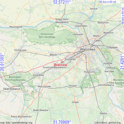
Brwinów GPS coordinates[2]
52° 8' 33.684" North, 20° 43' 1.092" East
| Map corner | latitude | longitude |
|---|---|---|
| Upper-left | 52.57211°, | 20.01385° |
| Center: | 52.14269°, | 20.71697° |
| Lower-right: | 51.70909°, | 21.4201° |
| Map W x H: | 96×96 km | = 59.7×59.7mi |
| max Lat: | 54.83135° ⇑31.3% North |
| Brwinów: | 52.14269° |
| min Lat: | ⇓68.7% South 49.21328° |
| min Long | Brwinów | max Long |
| 14.20249° | 20.71697° | 24.03723° |
| W 67.9%⇐ | ⇒32.1% E |
Elevation
Elevation of Brwinów is 96 m = 315 ft, and this is 95.4 m = 313 ft below average elevation for this country.
| Max E: |
974 m = 3196 ft | 81.8% |
| Avg. | 191.4 m = 628 ft | |
| Brwinów | 96 m = 315 ft | |
Min E: |
-3 m = -10 ft | 18.2% |
See also: Poland elevation on elevation.city.
Geographical zone
Brwinów is located in North temperate zone (between Tropic of Cancer and the Arctic Circle). Distance of this North polar circle is 1603.5 km =996.4 mi to North.| Distance of | km | miles | from Brwinów |
|---|---|---|---|
| North Pole | 4209.3 | 2615.5 | to North |
| Arctic Circle | 1603.5 | 996.4 | to North |
| Tropic Cancer | 3191.8 | 1983.3 | to South |
| Equator | 5797.7 | 3602.5 | to South |


Nearby cities:
15 places around Brwinów: (largest is in red/bold)
• Błonie
9.2 km =5.7 mi,  312°
312°
• Duchnice
8.6 km =5.3 mi,  40°
40°
• Granica
6 km =3.7 mi,  99°
99°
• Grodzisk Mazowiecki
7.1 km =4.4 mi,  232°
232°
• Józefów
5.9 km =3.7 mi,  345°
345°
• Kanie
3.6 km =2.2 mi, 97°
• Komorów
6.7 km =4.2 mi,  87°
87°
• Książenice
7.4 km =4.6 mi,  190°
190°
• Milanówek
4.1 km =2.5 mi, 229°
• Nadarzyn
8.2 km =5.1 mi,  130°
130°
• Otrębusy
3.4 km =2.1 mi,  117°
117°
• Owczarnia
3.6 km =2.2 mi, 193°
• Ołtarzew
8.2 km =5.1 mi,  20°
20°
• Podkowa Leśna
2.4 km =1.5 mi,  163°
163°
• Pruszków
7.2 km =4.5 mi,  64°
64°
Sources, notices
• [Note1] Compared only with cities in Poland existing in our database
• [Src1] Map data: © OpenStreetMap contributors (CC-BY-SA)
• [Src2] Other city data from geonames.org with taken over terms of usage.
• [Src3] Geographical zone / Annual Mean Temperature by Robert A. Rohde @ Wikipedia
