Santo André geodata
Santo André (Portalegre) is a populated place; located in Portugal in Europe/Lisbon (GMT+1) time zone. With population of 11,213 people, there are 189 cities with bigger population in this country. Compared to other cities in Portugal, 63.1% of cities are located further ↑North; 71.7% of cities are located further ←West and 54.5% of cities have higher elevation than Santo André. Note1


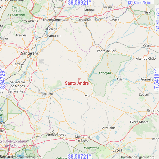
Santo André GPS coordinates[2]
39° 3' 19.152" North, 8° 14' 38.904" West
| Map corner | latitude | longitude |
|---|---|---|
| Upper-left | 39.59921°, | -8.94726° |
| Center: | 39.05532°, | -8.24414° |
| Lower-right: | 38.50721°, | -7.54101° |
| Map W x H: | 121.4×121.4 km | = 75.4×75.4mi |
| max Lat: | 42.11337° ⇑63.1% North |
| Santo André: | 39.05532° |
| min Lat: | ⇓36.9% South 32.6448° |
| min Long | Santo André | max Long |
| -31.17847° | -8.24414° | -6.27308° |
| W 71.7%⇐ | ⇒28.3% E |
Elevation
Elevation of Santo André is 94 m = 308 ft, and this is 83 m = 272 ft below average elevation for this country.
| Max E: |
1008 m = 3307 ft | 54.5% |
| Avg. | 177 m = 581 ft | |
| Santo André | 94 m = 308 ft | |
Min E: |
-128 m = -420 ft | 45.5% |
See also: Portugal elevation on elevation.city.
Geographical zone
Santo André is located in North temperate zone (between Tropic of Cancer and the Arctic Circle). Distance of this Northern Tropic circle is 1736.6 km =1079.1 mi to South.| Distance of | km | miles | from Santo André |
|---|---|---|---|
| North Pole | 5664.5 | 3519.8 | to North |
| Arctic Circle | 3058.6 | 1900.5 | to North |
| Tropic Cancer | 1736.6 | 1079.1 | to South |
| Equator | 4342.5 | 2698.3 | to South |


Nearby cities:
15 places around Santo André: (largest is in red/bold)
• Almeirim
37.1 km =23.1 mi,  297°
297°
• Alpiarça
36.8 km =22.9 mi,  307°
307°
• Arraiolos
43.2 km =26.8 mi,  148°
148°
• Avis
30.4 km =18.9 mi,  90°
90°
• Azinhaga
40.9 km =25.4 mi,  322°
322°
• Bemfica
39.5 km =24.5 mi,  284°
284°
• Coruche
26.5 km =16.5 mi,  246°
246°
• Fazendas de Almeirim
31.1 km =19.3 mi, 295°
• Marinhais
39.6 km =24.6 mi,  268°
268°
• Montargil
6.8 km =4.2 mi,  68°
68°
• Mora
14.2 km =8.8 mi, 150°
• Pinheiro Grande
40.9 km =25.4 mi,  336°
336°
• Ponte de Sôr
29.6 km =18.4 mi,  43°
43°
• Santarém
42.7 km =26.5 mi, 297°
• São Miguel de Rio Torto
42.1 km =26.2 mi,  3°
3°
Sources, notices
• [Note1] Compared only with cities in Portugal existing in our database
• [Src1] Map data: © OpenStreetMap contributors (CC-BY-SA)
• [Src2] Other city data from geonames.org with taken over terms of usage.
• [Src3] Geographical zone / Annual Mean Temperature by Robert A. Rohde @ Wikipedia
