Maceira geodata
Maceira (Leiria) is a populated place; located in Portugal in Europe/Lisbon (GMT+1) time zone. With population of 9,831 people, there are 221 cities with bigger population in this country. Compared to other cities in Portugal, 50.8% of cities are located further ↓South; 71.2% of cities are located further →East and 61.5% of cities have lower elevation than Maceira. Note1


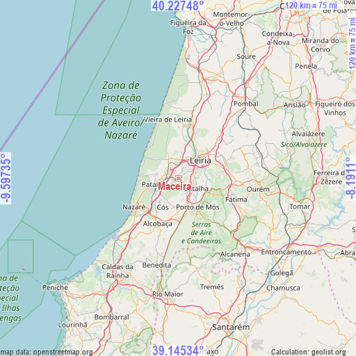
Maceira GPS coordinates[2]
39° 41' 18.708" North, 8° 53' 39.228" West
| Map corner | latitude | longitude |
|---|---|---|
| Upper-left | 40.22748°, | -9.59735° |
| Center: | 39.68853°, | -8.89423° |
| Lower-right: | 39.14534°, | -8.1911° |
| Map W x H: | 120.3×120.3 km | = 74.8×74.8mi |
| max Lat: | 42.11337° ⇑49.2% North |
| Maceira: | 39.68853° |
| min Lat: | ⇓50.8% South 32.6448° |
| min Long | Maceira | max Long |
| -31.17847° | -8.89423° | -6.27308° |
| W 28.8%⇐ | ⇒71.2% E |
Elevation
Elevation of Maceira is 164 m = 538 ft, and this is 13 m = 43 ft below average elevation for this country.
| Max E: |
1008 m = 3307 ft | 38.5% |
| Avg. | 177 m = 581 ft | |
| Maceira | 164 m = 538 ft | |
Min E: |
-128 m = -420 ft | 61.5% |
See also: Portugal elevation on elevation.city.
Geographical zone
Maceira is located in North temperate zone (between Tropic of Cancer and the Arctic Circle). Distance of this Northern Tropic circle is 1807 km =1122.8 mi to South.| Distance of | km | miles | from Maceira |
|---|---|---|---|
| North Pole | 5594.1 | 3476 | to North |
| Arctic Circle | 2988.2 | 1856.8 | to North |
| Tropic Cancer | 1807 | 1122.8 | to South |
| Equator | 4413 | 2742.1 | to South |


Nearby cities:
15 places around Maceira: (largest is in red/bold)
• Alcobaça
16.7 km =10.4 mi,  205°
205°
• Aljubarrota
13.8 km =8.6 mi,  192°
192°
• Amor
13.2 km =8.2 mi,  12°
12°
• Batalha
6.7 km =4.2 mi,  117°
117°
• Caranguejeira
17.2 km =10.7 mi,  68°
68°
• Leiria
9.6 km =6 mi,  50°
50°
• Marinha Grande
7.3 km =4.5 mi,  333°
333°
• Monte Real
18.4 km =11.4 mi, 8°
• Nazaré
17.7 km =11 mi,  237°
237°
• Pataias
8.9 km =5.5 mi,  256°
256°
• Porto de Mós
11.6 km =7.2 mi,  146°
146°
• Santa Catarina da Serra
17.8 km =11.1 mi,  93°
93°
• Souto da Carpalhosa
18.5 km =11.5 mi,  15°
15°
• Valado de Frades
16 km =9.9 mi,  223°
223°
• Vestiaria
17.5 km =10.9 mi, 210°
Sources, notices
• [Note1] Compared only with cities in Portugal existing in our database
• [Src1] Map data: © OpenStreetMap contributors (CC-BY-SA)
• [Src2] Other city data from geonames.org with taken over terms of usage.
• [Src3] Geographical zone / Annual Mean Temperature by Robert A. Rohde @ Wikipedia
