Vilarinho geodata
Vilarinho (Porto) is a populated place; located in Portugal in Europe/Lisbon (GMT+0) time zone. With population of 4,177 people, there are 500 cities with bigger population in this country. Compared to other cities in Portugal, 85.6% of cities are located further ↓South; 67.5% of cities are located further ←West and 70.1% of cities have lower elevation than Vilarinho. Note1


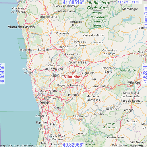
Vilarinho GPS coordinates[2]
41° 21' 34.38" North, 8° 19' 52.428" West
| Map corner | latitude | longitude |
|---|---|---|
| Upper-left | 41.88516°, | -9.03436° |
| Center: | 41.35955°, | -8.33123° |
| Lower-right: | 40.82966°, | -7.62811° |
| Map W x H: | 117.4×117.4 km | = 72.9×72.9mi |
| max Lat: | 42.11337° ⇑14.4% North |
| Vilarinho: | 41.35955° |
| min Lat: | ⇓85.6% South 32.6448° |
| min Long | Vilarinho | max Long |
| -31.17847° | -8.33123° | -6.27308° |
| W 67.5%⇐ | ⇒32.5% E |
Elevation
Elevation of Vilarinho is 203 m = 666 ft, and this is 26 m = 85 ft above average elevation for this country.
| Max E: |
1008 m = 3307 ft | 29.9% |
| Vilarinho | 203 m 666 ft | |
| Avg. | 177 m = 581 ft | |
Min E: |
-128 m = -420 ft | 70.1% |
See also: Portugal elevation on elevation.city.
Geographical zone
Vilarinho is located in North temperate zone (between Tropic of Cancer and the Arctic Circle). Distance of this Northern Tropic circle is 1992.8 km =1238.3 mi to South.| Distance of | km | miles | from Vilarinho |
|---|---|---|---|
| North Pole | 5408.3 | 3360.6 | to North |
| Arctic Circle | 2802.4 | 1741.3 | to North |
| Tropic Cancer | 1992.8 | 1238.3 | to South |
| Equator | 4598.8 | 2857.6 | to South |


Nearby cities:
15 places around Vilarinho: (largest is in red/bold)
• Aves
6.7 km =4.2 mi,  280°
280°
• Barrosas
2.7 km =1.7 mi,  100°
100°
• Caldas de Vizela
3.1 km =1.9 mi,  36°
36°
• Candoso
7.6 km =4.7 mi,  6°
6°
• Carvalhosa
7 km =4.3 mi,  200°
200°
• Lordelo
4.4 km =2.7 mi,  291°
291°
• Lustosa
2.4 km =1.5 mi,  150°
150°
• Moreira de Conegos
3.1 km =1.9 mi,  347°
347°
• Negrelos
6 km =3.7 mi,  259°
259°
• Rebordões
7.7 km =4.8 mi,  266°
266°
• Riba de Ave
6.2 km =3.9 mi,  311°
311°
• Selho
6.8 km =4.2 mi, 349°
• Serzedelo
5.6 km =3.5 mi,  325°
325°
• Vizela
6.6 km =4.1 mi,  58°
58°
• Vizela
7.3 km =4.5 mi,  69°
69°
Sources, notices
• [Note1] Compared only with cities in Portugal existing in our database
• [Src1] Map data: © OpenStreetMap contributors (CC-BY-SA)
• [Src2] Other city data from geonames.org with taken over terms of usage.
• [Src3] Geographical zone / Annual Mean Temperature by Robert A. Rohde @ Wikipedia
