São Pedro de Alva geodata
São Pedro de Alva (Coimbra) is a populated place; located in Portugal in Europe/Lisbon (GMT+1) time zone. With population of 1,818 people, there are 664 cities with bigger population in this country. Compared to other cities in Portugal, 57.8% of cities are located further ↓South; 74.4% of cities are located further ←West and 69.1% of cities have lower elevation than São Pedro de Alva. Note1


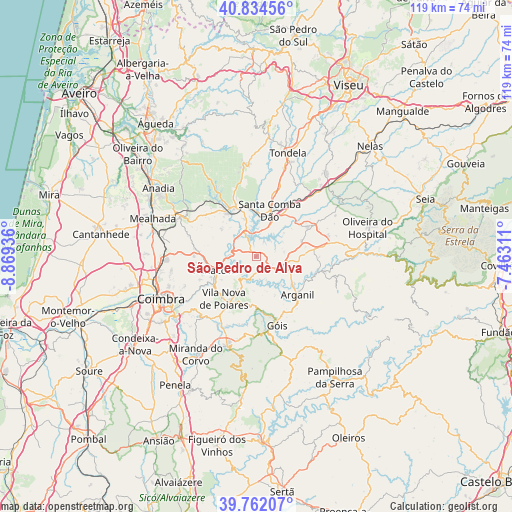
São Pedro de Alva GPS coordinates[2]
40° 18' 1.584" North, 8° 9' 58.428" West
| Map corner | latitude | longitude |
|---|---|---|
| Upper-left | 40.83456°, | -8.86936° |
| Center: | 40.30044°, | -8.16623° |
| Lower-right: | 39.76207°, | -7.46311° |
| Map W x H: | 119.2×119.2 km | = 74.1×74.1mi |
| max Lat: | 42.11337° ⇑42.2% North |
| São Pedro de Alva: | 40.30044° |
| min Lat: | ⇓57.8% South 32.6448° |
| min Long | São Pedro de A | max Long |
| -31.17847° | -8.16623° | -6.27308° |
| W 74.4%⇐ | ⇒25.6% E |
Elevation
Elevation of São Pedro de Alva is 198 m = 650 ft, and this is 21 m = 69 ft above average elevation for this country.
| Max E: |
1008 m = 3307 ft | 30.9% |
| São Pedro de Alva | 198 m 650 ft | |
| Avg. | 177 m = 581 ft | |
Min E: |
-128 m = -420 ft | 69.1% |
See also: Portugal elevation on elevation.city.
Geographical zone
São Pedro de Alva is located in North temperate zone (between Tropic of Cancer and the Arctic Circle). Distance of this Northern Tropic circle is 1875.1 km =1165.1 mi to South.| Distance of | km | miles | from São Pedro de Alva |
|---|---|---|---|
| North Pole | 5526.1 | 3433.8 | to North |
| Arctic Circle | 2920.2 | 1814.5 | to North |
| Tropic Cancer | 1875.1 | 1165.1 | to South |
| Equator | 4481 | 2784.4 | to South |


Nearby cities:
15 places around São Pedro de Alva: (largest is in red/bold)
• Arganil
13.2 km =8.2 mi,  133°
133°
• Friumes
5.2 km =3.2 mi,  233°
233°
• Góis
16.6 km =10.3 mi,  163°
163°
• Lorvão
13.6 km =8.5 mi,  250°
250°
• Luso
20.3 km =12.6 mi,  297°
297°
• Mortágua
12.1 km =7.5 mi,  332°
332°
• Oliveira do Mondego
5.5 km =3.4 mi, 297°
• Penacova
10.5 km =6.5 mi, 250°
• Poiares
12.7 km =7.9 mi,  217°
217°
• Santa Comba Dão
11.3 km =7 mi,  15°
15°
• São João de Areias
12.8 km =8 mi,  40°
40°
• Travanca
3.1 km =1.9 mi, 325°
• Treixedo
15.9 km =9.9 mi, 22°
• Tábua
13.5 km =8.4 mi,  59°
59°
• Vila Nova de Ceira
13.3 km =8.3 mi,  174°
174°
Sources, notices
• [Note1] Compared only with cities in Portugal existing in our database
• [Src1] Map data: © OpenStreetMap contributors (CC-BY-SA)
• [Src2] Other city data from geonames.org with taken over terms of usage.
• [Src3] Geographical zone / Annual Mean Temperature by Robert A. Rohde @ Wikipedia
