Avô geodata
Avô (Coimbra) is a populated place; located in Portugal in Europe/Lisbon (GMT+1) time zone. With population of 595 people, there are 814 cities with bigger population in this country. Compared to other cities in Portugal, 57.6% of cities are located further ↓South; 82.2% of cities are located further ←West and 77.6% of cities have lower elevation than Avô. Note1


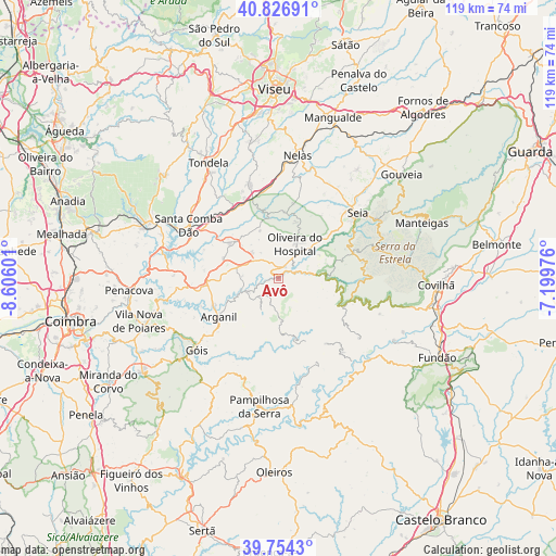
Avô GPS coordinates[2]
40° 17' 33.828" North, 7° 54' 10.368" West
| Map corner | latitude | longitude |
|---|---|---|
| Upper-left | 40.82691°, | -8.60601° |
| Center: | 40.29273°, | -7.90288° |
| Lower-right: | 39.7543°, | -7.19976° |
| Map W x H: | 119.3×119.3 km | = 74.1×74.1mi |
| max Lat: | 42.11337° ⇑42.4% North |
| Avô: | 40.29273° |
| min Lat: | ⇓57.6% South 32.6448° |
| min Long | Avô | max Long |
| -31.17847° | -7.90288° | -6.27308° |
| W 82.2%⇐ | ⇒17.8% E |
Elevation
Elevation of Avô is 258 m = 846 ft, and this is 81 m = 266 ft above average elevation for this country.
| Max E: |
1008 m = 3307 ft | 22.4% |
| Avô | 258 m 846 ft | |
| Avg. | 177 m = 581 ft | |
Min E: |
-128 m = -420 ft | 77.6% |
See also: Portugal elevation on elevation.city.
Geographical zone
Avô is located in North temperate zone (between Tropic of Cancer and the Arctic Circle). Distance of this Northern Tropic circle is 1874.2 km =1164.6 mi to South.| Distance of | km | miles | from Avô |
|---|---|---|---|
| North Pole | 5526.9 | 3434.3 | to North |
| Arctic Circle | 2921 | 1815 | to North |
| Tropic Cancer | 1874.2 | 1164.6 | to South |
| Equator | 4480.1 | 2783.8 | to South |


Nearby cities:
15 places around Avô: (largest is in red/bold)
• Arganil
15.3 km =9.5 mi,  237°
237°
• Barroca Grande
20.2 km =12.6 mi,  139°
139°
• Cabanas de Viriato
21.3 km =13.2 mi,  343°
343°
• Carregal do Sal
17.7 km =11 mi,  332°
332°
• Lapa do Lobo
20.4 km =12.7 mi,  356°
356°
• Loriga
18.4 km =11.4 mi,  78°
78°
• Oliveira do Hospital
8.5 km =5.3 mi,  25°
25°
• Santa Ovaia
2.8 km =1.7 mi, 32°
• Seia
21.4 km =13.3 mi,  50°
50°
• São Jorge da Beira
18.1 km =11.2 mi, 139°
• São João de Areias
17.5 km =10.9 mi,  306°
306°
• São Romão
20 km =12.4 mi, 52°
• Tábua
13.2 km =8.2 mi, 305°
• Unhais-o-Velho
19.6 km =12.2 mi,  156°
156°
• Vide
10.1 km =6.3 mi,  88°
88°
Sources, notices
• [Note1] Compared only with cities in Portugal existing in our database
• [Src1] Map data: © OpenStreetMap contributors (CC-BY-SA)
• [Src2] Other city data from geonames.org with taken over terms of usage.
• [Src3] Geographical zone / Annual Mean Temperature by Robert A. Rohde @ Wikipedia
