Stanišić geodata
Stanišić (Vojvodina) is a populated place; located in Serbia in Europe/Belgrade (GMT+2) time zone. With population of 5,476 people, there are 82 cities with bigger population in this country. Compared to other cities in Serbia, 98% of cities are located further ↓South; 97.5% of cities are located further →East and 54% of cities have lower elevation than Stanišić. Note1


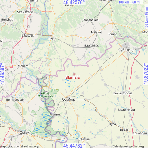
Stanišić GPS coordinates[2]
45° 56' 20.22" North, 19° 10' 1.524" East
| Map corner | latitude | longitude |
|---|---|---|
| Upper-left | 46.42576°, | 18.46397° |
| Center: | 45.93895°, | 19.16709° |
| Lower-right: | 45.44782°, | 19.87022° |
| Map W x H: | 108.7×108.7 km | = 67.5×67.5mi |
| max Lat: | 46.1° ⇑2% North |
| Stanišić: | 45.93895° |
| min Lat: | ⇓98% South 42.25846° |
| min Long | Stanišić | max Long |
| 18.9276° | 19.16709° | 22.77556° |
| W 2.5%⇐ | ⇒97.5% E |
Elevation
Elevation of Stanišić is 95 m = 312 ft, and this is 81.4 m = 267 ft below average elevation for this country.
| Max E: |
1421 m = 4662 ft | 46% |
| Avg. | 176.4 m = 579 ft | |
| Stanišić | 95 m = 312 ft | |
Min E: |
49 m = 161 ft | 54% |
See also: Serbia elevation on elevation.city.
Geographical zone
Stanišić is located in North temperate zone (between Tropic of Cancer and the Arctic Circle). Distance of this North polar circle is 2293.2 km =1424.9 mi to North.| Distance of | km | miles | from Stanišić |
|---|---|---|---|
| North Pole | 4899.1 | 3044.2 | to North |
| Arctic Circle | 2293.2 | 1424.9 | to North |
| Tropic Cancer | 2502 | 1554.7 | to South |
| Equator | 5107.9 | 3173.9 | to South |


Nearby cities:
15 places around Stanišić: (largest is in red/bold)
• Apatin
33 km =20.5 mi,  206°
206°
• Bačka Topola
38.5 km =23.9 mi,  110°
110°
• Bački Breg
18.5 km =11.5 mi,  263°
263°
• Bogojevo
45.5 km =28.3 mi,  183°
183°
• Doroslovo
36.9 km =22.9 mi, 177°
• Gakovo
9.2 km =5.7 mi,  242°
242°
• Kolut
19.2 km =11.9 mi,  254°
254°
• Kula
46.1 km =28.6 mi,  142°
142°
• Kupusina
25.5 km =15.8 mi, 208°
• Mali Iđoš
46.3 km =28.8 mi,  123°
123°
• Prigrevica
29.8 km =18.5 mi,  191°
191°
• Riđica
7.4 km =4.6 mi,  320°
320°
• Sombor
18.8 km =11.7 mi, 193°
• Sonta
38.7 km =24 mi, 188°
• Subotica
42.5 km =26.4 mi,  65°
65°
Sources, notices
• [Note1] Compared only with cities in Serbia existing in our database
• [Src1] Map data: © OpenStreetMap contributors (CC-BY-SA)
• [Src2] Other city data from geonames.org with taken over terms of usage.
• [Src3] Geographical zone / Annual Mean Temperature by Robert A. Rohde @ Wikipedia
