Bačko Gradište geodata
Bačko Gradište (Vojvodina) is a populated place; located in Serbia in Europe/Belgrade (GMT+2) time zone. With population of 5,764 people, there are 80 cities with bigger population in this country. Compared to other cities in Serbia, 86.4% of cities are located further ↓South; 67.6% of cities are located further →East and 78.9% of cities have higher elevation than Bačko Gradište. Note1


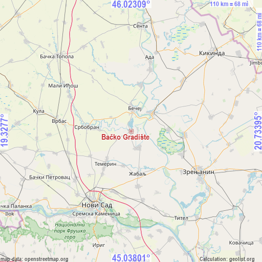
Bačko Gradište GPS coordinates[2]
45° 31' 57.756" North, 20° 1' 50.952" East
| Map corner | latitude | longitude |
|---|---|---|
| Upper-left | 46.02309°, | 19.3277° |
| Center: | 45.53271°, | 20.03082° |
| Lower-right: | 45.03801°, | 20.73395° |
| Map W x H: | 109.5×109.5 km | = 68×68mi |
| max Lat: | 46.1° ⇑13.6% North |
| Bačko Gradište: | 45.53271° |
| min Lat: | ⇓86.4% South 42.25846° |
| min Long | Bačko Gradišt | max Long |
| 18.9276° | 20.03082° | 22.77556° |
| W 32.4%⇐ | ⇒67.6% E |
Elevation
Elevation of Bačko Gradište is 78 m = 256 ft, and this is 98.4 m = 323 ft below average elevation for this country.
| Max E: |
1421 m = 4662 ft | 78.9% |
| Avg. | 176.4 m = 579 ft | |
| Bačko Gradište | 78 m = 256 ft | |
Min E: |
49 m = 161 ft | 21.1% |
See also: Serbia elevation on elevation.city.
Geographical zone
Bačko Gradište is located in North temperate zone (between Tropic of Cancer and the Arctic Circle). Distance of this North polar circle is 2338.4 km =1453 mi to North.| Distance of | km | miles | from Bačko Gradište |
|---|---|---|---|
| North Pole | 4944.3 | 3072.2 | to North |
| Arctic Circle | 2338.4 | 1453 | to North |
| Tropic Cancer | 2456.8 | 1526.6 | to South |
| Equator | 5062.8 | 3145.9 | to South |


Nearby cities:
15 places around Bačko Gradište: (largest is in red/bold)
• Aradac
26.8 km =16.7 mi,  128°
128°
• Bačko Petrovo Selo
19.7 km =12.2 mi,  11°
11°
• Bečej
9.3 km =5.8 mi,  1°
1°
• Elemir
23.3 km =14.5 mi,  115°
115°
• Kumane
15.5 km =9.6 mi,  87°
87°
• Melenci
22.6 km =14 mi, 94°
• Mol
27 km =16.8 mi,  17°
17°
• Mošorin
27.8 km =17.3 mi,  157°
157°
• Novi Bečej
11 km =6.8 mi,  48°
48°
• Srbobran
17.9 km =11.1 mi,  277°
277°
• Taraš
15 km =9.3 mi, 119°
• Temerin
17.7 km =11 mi,  218°
218°
• Ðurđevo
23.2 km =14.4 mi,  173°
173°
• Čurug
7.3 km =4.5 mi, 156°
• Žabalj
18 km =11.2 mi, 171°
Sources, notices
• [Note1] Compared only with cities in Serbia existing in our database
• [Src1] Map data: © OpenStreetMap contributors (CC-BY-SA)
• [Src2] Other city data from geonames.org with taken over terms of usage.
• [Src3] Geographical zone / Annual Mean Temperature by Robert A. Rohde @ Wikipedia
