Muslyumovo geodata
Muslyumovo (Tatarstan Republic) is a populated place; located in Russia in Europe/Moscow (GMT+3) time zone. With population of 7,406 people, there are 1912 cities with bigger population in this country. Compared to other cities in Russia, 56% of cities are located further ↓South; 65% of cities are located further ←West and 78% of cities have higher elevation than Muslyumovo. Note1


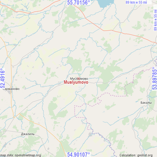
Muslyumovo GPS coordinates[2]
55° 18' 11.988" North, 53° 11' 40.992" East
| Map corner | latitude | longitude |
|---|---|---|
| Upper-left | 55.70156°, | 52.4916° |
| Center: | 55.30333°, | 53.19472° |
| Lower-right: | 54.90107°, | 53.89785° |
| Map W x H: | 89×89 km | = 55.3×55.3mi |
| max Lat: | 73.50819° ⇑44% North |
| Muslyumovo: | 55.30333° |
| min Lat: | ⇓56% South 41.28413° |
| min Long | Muslyumovo | max Long |
| -179.12198° | 53.19472° | 179.35046° |
| W 65%⇐ | ⇒35% E |
Elevation
Elevation of Muslyumovo is 77 m = 253 ft, and this is 125.6 m = 412 ft below average elevation for this country.
| Max E: |
2518 m = 8261 ft | 78% |
| Avg. | 202.6 m = 665 ft | |
| Muslyumovo | 77 m = 253 ft | |
Min E: |
-28 m = -92 ft | 22% |
See also: Russia elevation on elevation.city.
Geographical zone
Muslyumovo is located in North temperate zone (between Tropic of Cancer and the Arctic Circle). Distance of this North polar circle is 1252 km =778 mi to North.| Distance of | km | miles | from Muslyumovo |
|---|---|---|---|
| North Pole | 3857.9 | 2397.2 | to North |
| Arctic Circle | 1252 | 778 | to North |
| Tropic Cancer | 3543.2 | 2201.6 | to South |
| Equator | 6149.2 | 3820.9 | to South |


Nearby cities:
15 places around Muslyumovo: (largest is in red/bold)
• Aktanysh
72.7 km =45.2 mi,  50°
50°
• Aktyubinskiy
59.8 km =37.2 mi,  204°
204°
• Al’met’yevsk
71.4 km =44.4 mi,  231°
231°
• Bakaly
41 km =25.5 mi,  109°
109°
• Dzhalil’
42.6 km =26.5 mi,  223°
223°
• Karabash
78.3 km =48.7 mi,  209°
209°
• Menzelinsk
47.5 km =29.5 mi,  352°
352°
• Naberezhnyye Chelny
68.1 km =42.3 mi,  313°
313°
• Nizhnyaya Maktama
69.1 km =42.9 mi, 224°
• Russkiy Aktash
74.3 km =46.2 mi,  246°
246°
• Sarmanovo
38.7 km =24 mi,  262°
262°
• Sharan
74.5 km =46.3 mi,  136°
136°
• Urussu
80.3 km =49.9 mi,  167°
167°
• Verkhneyarkeyevo
72.6 km =45.1 mi,  76°
76°
• Zainsk
71.2 km =44.2 mi,  271°
271°
Sources, notices
• [Note1] Compared only with cities in Russia existing in our database
• [Src1] Map data: © OpenStreetMap contributors (CC-BY-SA)
• [Src2] Other city data from geonames.org with taken over terms of usage.
• [Src3] Geographical zone / Annual Mean Temperature by Robert A. Rohde @ Wikipedia
