Al’met’yevsk geodata
Al’met’yevsk (Tatarstan Republic) is a populated place; located in Russia in Europe/Moscow (GMT+3) time zone. With population of 140,437 people, there are 143 cities with bigger population in this country. Compared to other cities in Russia, 52.2% of cities are located further ↓South; 64.3% of cities are located further ←West and 61.4% of cities have higher elevation than Al’met’yevsk. Note1


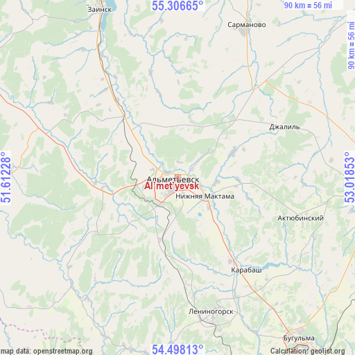
Al’met’yevsk GPS coordinates[2]
54° 54' 15.912" North, 52° 18' 55.44" East
| Map corner | latitude | longitude |
|---|---|---|
| Upper-left | 55.30665°, | 51.61228° |
| Center: | 54.90442°, | 52.3154° |
| Lower-right: | 54.49813°, | 53.01853° |
| Map W x H: | 89.9×89.9 km | = 55.9×55.9mi |
| max Lat: | 73.50819° ⇑47.8% North |
| Al’met’yevsk: | 54.90442° |
| min Lat: | ⇓52.2% South 41.28413° |
| min Long | Al’met’yevs | max Long |
| -179.12198° | 52.3154° | 179.35046° |
| W 64.3%⇐ | ⇒35.7% E |
Elevation
Elevation of Al’met’yevsk is 121 m = 397 ft, and this is 81.6 m = 268 ft below average elevation for this country.
| Max E: |
2518 m = 8261 ft | 61.4% |
| Avg. | 202.6 m = 665 ft | |
| Al’met’yevsk | 121 m = 397 ft | |
Min E: |
-28 m = -92 ft | 38.6% |
See also: Al’met’yevsk elevation on elevation.city.
Geographical zone
Al’met’yevsk is located in North temperate zone (between Tropic of Cancer and the Arctic Circle). Distance of this North polar circle is 1296.4 km =805.5 mi to North.| Distance of | km | miles | from Al’met’yevsk |
|---|---|---|---|
| North Pole | 3902.3 | 2424.8 | to North |
| Arctic Circle | 1296.4 | 805.5 | to North |
| Tropic Cancer | 3498.9 | 2174.1 | to South |
| Equator | 6104.8 | 3793.3 | to South |


Nearby cities:
15 places around Al’met’yevsk: (largest is in red/bold)
• Aktyubinskiy
33 km =20.5 mi,  107°
107°
• Bugul’ma
51.2 km =31.8 mi,  142°
142°
• Cheremshan
58.6 km =36.4 mi,  243°
243°
• Dzhalil’
29.9 km =18.6 mi,  63°
63°
• Karabash
29.1 km =18.1 mi, 143°
• Klyavlino
73.5 km =45.7 mi,  194°
194°
• Leninogorsk
34.8 km =21.6 mi,  164°
164°
• Muslyumovo
71.4 km =44.4 mi,  51°
51°
• Nizhnyaya Maktama
8.5 km =5.3 mi,  122°
122°
• Novosheshminsk
71.3 km =44.3 mi,  284°
284°
• Russkiy Aktash
19.4 km =12.1 mi,  320°
320°
• Sarmanovo
42.7 km =26.5 mi,  24°
24°
• Shentala
73.6 km =45.7 mi,  226°
226°
• Shugurovo
45.6 km =28.3 mi, 194°
• Zainsk
48.7 km =30.3 mi,  341°
341°
Sources, notices
• [Note1] Compared only with cities in Russia existing in our database
• [Src1] Map data: © OpenStreetMap contributors (CC-BY-SA)
• [Src2] Other city data from geonames.org with taken over terms of usage.
• [Src3] Geographical zone / Annual Mean Temperature by Robert A. Rohde @ Wikipedia
