Kuybyshevo geodata
Kuybyshevo (Rostov) is a seat of a second-order administrative division; located in Russia in Europe/Moscow (GMT+3) time zone. With population of 5,790 people, there are 2334 cities with bigger population in this country. Compared to other cities in Russia, 80.7% of cities are located further ↑North; 72.6% of cities are located further →East and 87.8% of cities have higher elevation than Kuybyshevo. Note1


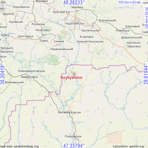
Kuybyshevo GPS coordinates[2]
47° 48' 44.208" North, 38° 54' 26.316" East
| Map corner | latitude | longitude |
|---|---|---|
| Upper-left | 48.28233°, | 38.20419° |
| Center: | 47.81228°, | 38.90731° |
| Lower-right: | 47.33794°, | 39.61044° |
| Map W x H: | 105×105 km | = 65.2×65.2mi |
| max Lat: | 73.50819° ⇑80.7% North |
| Kuybyshevo: | 47.81228° |
| min Lat: | ⇓19.3% South 41.28413° |
| min Long | Kuybyshevo | max Long |
| -179.12198° | 38.90731° | 179.35046° |
| W 27.4%⇐ | ⇒72.6% E |
Elevation
Elevation of Kuybyshevo is 37 m = 121 ft, and this is 165.6 m = 543 ft below average elevation for this country.
| Max E: |
2518 m = 8261 ft | 87.8% |
| Avg. | 202.6 m = 665 ft | |
| Kuybyshevo | 37 m = 121 ft | |
Min E: |
-28 m = -92 ft | 12.2% |
See also: Russia elevation on elevation.city.
Geographical zone
Kuybyshevo is located in North temperate zone (between Tropic of Cancer and the Arctic Circle). Distance of this North polar circle is 2084.9 km =1295.5 mi to North.| Distance of | km | miles | from Kuybyshevo |
|---|---|---|---|
| North Pole | 4690.8 | 2914.7 | to North |
| Arctic Circle | 2084.9 | 1295.5 | to North |
| Tropic Cancer | 2710.3 | 1684.1 | to South |
| Equator | 5316.2 | 3303.3 | to South |


Nearby cities:
15 places around Kuybyshevo: (largest is in red/bold)
• Anastasiyevka
39.8 km =24.7 mi,  225°
225°
• Chaltyr
72.8 km =45.2 mi,  143°
143°
• Krym
73 km =45.4 mi, 141°
• Matveyev Kurgan
27.7 km =17.2 mi,  185°
185°
• Nedvigovka
68.9 km =42.8 mi,  151°
151°
• Novobessergenovka
69.9 km =43.4 mi,  183°
183°
• Persianovka
49.5 km =30.8 mi,  129°
129°
• Pokrovskoye
44.1 km =27.4 mi, 180°
• Primorka
59.9 km =37.2 mi,  168°
168°
• Rodionovo-Nesvetaiskoye
63.8 km =39.6 mi,  111°
111°
• Rodionovo-Nesvetayskaya
64.3 km =40 mi, 110°
• Sambek
69.4 km =43.1 mi,  96°
96°
• Sinyavskoye
65.7 km =40.8 mi, 154°
• Taganrog
64.1 km =39.8 mi, 180°
• Tanais
68.4 km =42.5 mi, 152°
Sources, notices
• [Note1] Compared only with cities in Russia existing in our database
• [Src1] Map data: © OpenStreetMap contributors (CC-BY-SA)
• [Src2] Other city data from geonames.org with taken over terms of usage.
• [Src3] Geographical zone / Annual Mean Temperature by Robert A. Rohde @ Wikipedia
