Chupa geodata
Chupa (Karelia) is a populated place; located in Russia in Europe/Moscow (GMT+3) time zone. With population of 3,954 people, there are 3139 cities with bigger population in this country. Compared to other cities in Russia, 98.2% of cities are located further ↓South; 91.9% of cities are located further →East and 97.6% of cities have higher elevation than Chupa. Note1


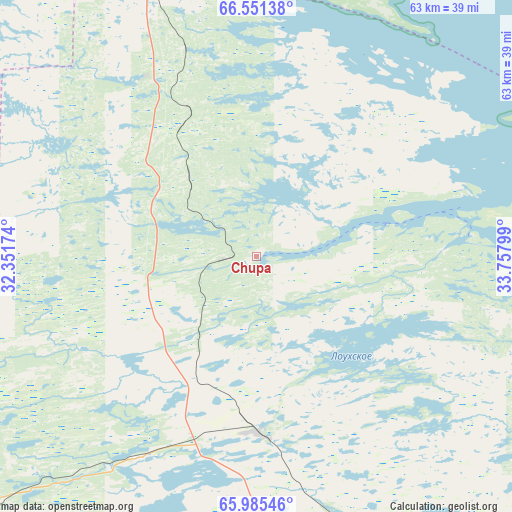
Chupa GPS coordinates[2]
66° 16' 12.036" North, 33° 3' 17.496" East
| Map corner | latitude | longitude |
|---|---|---|
| Upper-left | 66.55138°, | 32.35174° |
| Center: | 66.27001°, | 33.05486° |
| Lower-right: | 65.98546°, | 33.75799° |
| Map W x H: | 62.9×62.9 km | = 39.1×39.1mi |
| max Lat: | 73.50819° ⇑1.8% North |
| Chupa: | 66.27001° |
| min Lat: | ⇓98.2% South 41.28413° |
| min Long | Chupa | max Long |
| -179.12198° | 33.05486° | 179.35046° |
| W 8.1%⇐ | ⇒91.9% E |
Elevation
Elevation of Chupa is 6 m = 20 ft, and this is 196.6 m = 645 ft below average elevation for this country.
| Max E: |
2518 m = 8261 ft | 97.6% |
| Avg. | 202.6 m = 665 ft | |
| Chupa | 6 m = 20 ft | |
Min E: |
-28 m = -92 ft | 2.4% |
See also: Russia elevation on elevation.city.
Geographical zone
Chupa is located in North temperate zone (between Tropic of Cancer and the Arctic Circle). Distance of this North polar circle is 32.6 km =20.3 mi to North.| Distance of | km | miles | from Chupa |
|---|---|---|---|
| North Pole | 2638.5 | 1639.5 | to North |
| Arctic Circle | 32.6 | 20.3 | to North |
| Tropic Cancer | 4762.6 | 2959.3 | to South |
| Equator | 7368.5 | 4578.6 | to South |


Nearby cities:
15 places around Chupa: (largest is in red/bold)
• Afrikanda
131 km =81.4 mi,  354°
354°
• Alakurtti
142.3 km =88.4 mi,  302°
302°
• Ambarnyy
51.5 km =32 mi,  143°
143°
• Apatity
144.7 km =89.9 mi,  6°
6°
• Engozero
67.1 km =41.7 mi, 143°
• Kalevala
146.4 km =91 mi,  215°
215°
• Kandalaksha
103.1 km =64.1 mi,  344°
344°
• Kirovsk
151.9 km =94.4 mi, 10°
• Loukhi
21.6 km =13.4 mi,  180°
180°
• Polyarnyye Zori
124.3 km =77.2 mi, 348°
• Poyakonda
37.5 km =23.3 mi, 343°
• Pyaozerskiy
104.9 km =65.2 mi,  237°
237°
• Umba
73.6 km =45.7 mi,  50°
50°
• Zasheyek
128 km =79.5 mi, 350°
• Zelenoborskiy
70.9 km =44.1 mi,  334°
334°
Sources, notices
• [Note1] Compared only with cities in Russia existing in our database
• [Src1] Map data: © OpenStreetMap contributors (CC-BY-SA)
• [Src2] Other city data from geonames.org with taken over terms of usage.
• [Src3] Geographical zone / Annual Mean Temperature by Robert A. Rohde @ Wikipedia
