Tashanta geodata
Tashanta (Altai) is a populated place; located in Russia in Asia/Barnaul (GMT+7) time zone. With population of 2,000 people, there are 4146 cities with bigger population in this country. Compared to other cities in Russia, 78.3% of cities are located further ↑North; 85.4% of cities are located further ←West and 99.9% of cities have lower elevation than Tashanta. Note1


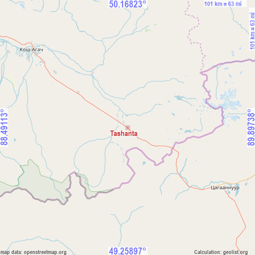
Tashanta GPS coordinates[2]
49° 42' 56.628" North, 89° 11' 39.3" East
| Map corner | latitude | longitude |
|---|---|---|
| Upper-left | 50.16823°, | 88.49113° |
| Center: | 49.71573°, | 89.19425° |
| Lower-right: | 49.25897°, | 89.89738° |
| Map W x H: | 101.1×101.1 km | = 62.8×62.8mi |
| max Lat: | 73.50819° ⇑78.3% North |
| Tashanta: | 49.71573° |
| min Lat: | ⇓21.7% South 41.28413° |
| min Long | Tashanta | max Long |
| -179.12198° | 89.19425° | 179.35046° |
| W 85.4%⇐ | ⇒14.6% E |
Elevation
Elevation of Tashanta is 2105 m = 6906 ft, and this is 1902.4 m = 6241 ft above average elevation for this country.
| Max E: |
2518 m = 8261 ft | 0.099999999999994% |
| Tashanta | 2105 m 6906 ft | |
| Avg. | 202.6 m = 665 ft | |
Min E: |
-28 m = -92 ft | 99.9% |
See also: Russia elevation on elevation.city.
Geographical zone
Tashanta is located in North temperate zone (between Tropic of Cancer and the Arctic Circle). Distance of this North polar circle is 1873.3 km =1164 mi to North.| Distance of | km | miles | from Tashanta |
|---|---|---|---|
| North Pole | 4479.2 | 2783.2 | to North |
| Arctic Circle | 1873.3 | 1164 | to North |
| Tropic Cancer | 2922 | 1815.6 | to South |
| Equator | 5527.9 | 3434.9 | to South |


Nearby cities:
15 places around Tashanta: (largest is in red/bold)
• Ak-Dovurak
191.1 km =118.7 mi,  31°
31°
• Aktash
123 km =76.4 mi,  301°
301°
• Balykcha
203.4 km =126.4 mi,  329°
329°
• Belyashi
127.3 km =79.1 mi,  269°
269°
• Chibit
137.2 km =85.3 mi, 299°
• Inya
200.8 km =124.8 mi,  294°
294°
• Kosh-Agach
48.3 km =30 mi,  309°
309°
• Kupchegen
221.4 km =137.6 mi, 297°
• Kyzyl-Khaya
61.5 km =38.2 mi,  52°
52°
• Kyzyl-Mazhalyk
186.9 km =116.1 mi, 31°
• Mugur-Aksy
115.5 km =71.8 mi, 50°
• Tebeler
36.2 km =22.5 mi, 307°
• Teeli
161.2 km =100.2 mi, 26°
• Ust’-Ulagan
134.6 km =83.6 mi,  319°
319°
• Жана-Аул
24.9 km =15.5 mi, 306°
Sources, notices
• [Note1] Compared only with cities in Russia existing in our database
• [Src1] Map data: © OpenStreetMap contributors (CC-BY-SA)
• [Src2] Other city data from geonames.org with taken over terms of usage.
• [Src3] Geographical zone / Annual Mean Temperature by Robert A. Rohde @ Wikipedia
