Kaa-Khem geodata
Kaa-Khem (Republic of Tyva) is a populated place; located in Russia in Asia/Krasnoyarsk (GMT+7) time zone. With population of 10,375 people, there are 1455 cities with bigger population in this country. Compared to other cities in Russia, 71.2% of cities are located further ↑North; 87.2% of cities are located further ←West and 96.1% of cities have lower elevation than Kaa-Khem. Note1


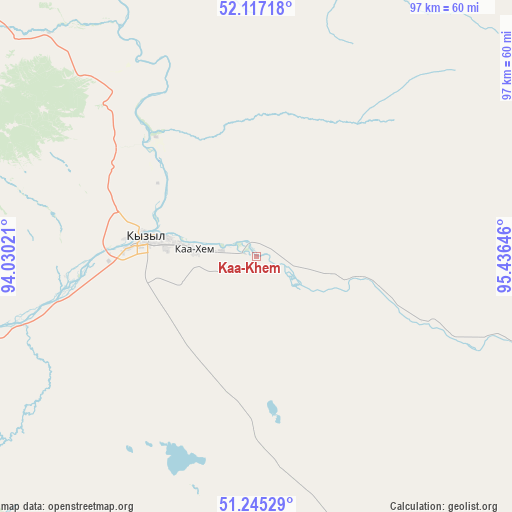
Kaa-Khem GPS coordinates[2]
51° 40' 59.988" North, 94° 43' 59.988" East
| Map corner | latitude | longitude |
|---|---|---|
| Upper-left | 52.11718°, | 94.03021° |
| Center: | 51.68333°, | 94.73333° |
| Lower-right: | 51.24529°, | 95.43646° |
| Map W x H: | 96.9×96.9 km | = 60.2×60.2mi |
| max Lat: | 73.50819° ⇑71.2% North |
| Kaa-Khem: | 51.68333° |
| min Lat: | ⇓28.8% South 41.28413° |
| min Long | Kaa-Khem | max Long |
| -179.12198° | 94.73333° | 179.35046° |
| W 87.2%⇐ | ⇒12.8% E |
Elevation
Elevation of Kaa-Khem is 705 m = 2313 ft, and this is 502.4 m = 1648 ft above average elevation for this country.
| Max E: |
2518 m = 8261 ft | 3.9% |
| Kaa-Khem | 705 m 2313 ft | |
| Avg. | 202.6 m = 665 ft | |
Min E: |
-28 m = -92 ft | 96.1% |
See also: Russia elevation on elevation.city.
Geographical zone
Kaa-Khem is located in North temperate zone (between Tropic of Cancer and the Arctic Circle). Distance of this North polar circle is 1654.5 km =1028.1 mi to North.| Distance of | km | miles | from Kaa-Khem |
|---|---|---|---|
| North Pole | 4260.4 | 2647.3 | to North |
| Arctic Circle | 1654.5 | 1028.1 | to North |
| Tropic Cancer | 3140.7 | 1951.5 | to South |
| Equator | 5746.6 | 3570.8 | to South |


Nearby cities:
15 places around Kaa-Khem: (largest is in red/bold)
• Balgazyn
82.6 km =51.3 mi,  156°
156°
• Bay-Khaak
61 km =37.9 mi,  197°
197°
• Chadan
222.6 km =138.3 mi,  258°
258°
• Erzin
161.1 km =100.1 mi,  169°
169°
• Khandagayty
214.7 km =133.4 mi,  240°
240°
• Khovu-Aksy
93.6 km =58.2 mi,  229°
229°
• Kungurtug
228.9 km =142.2 mi,  121°
121°
• Kyzyl
19.5 km =12.1 mi,  278°
278°
• Samagaltay
121.7 km =75.6 mi, 171°
• Saryg-Sep
61 km =37.9 mi,  110°
110°
• Shagonar
125.5 km =78 mi, 262°
• Sukpak
7.1 km =4.4 mi,  254°
254°
• Tanzybey
201.8 km =125.4 mi,  323°
323°
• Toora-Khem
128.5 km =79.8 mi,  47°
47°
• Turan
75.9 km =47.2 mi,  312°
312°
Sources, notices
• [Note1] Compared only with cities in Russia existing in our database
• [Src1] Map data: © OpenStreetMap contributors (CC-BY-SA)
• [Src2] Other city data from geonames.org with taken over terms of usage.
• [Src3] Geographical zone / Annual Mean Temperature by Robert A. Rohde @ Wikipedia
