Tumayr geodata
Tumayr (Ar Riyāḑ) is a populated place; located in Saudi Arabia in Asia/Riyadh (GMT+3) time zone. With population of 8,246 people, there are 76 cities with bigger population in this country. Compared to other cities in Saudi Arabia, 58.8% of cities are located further ↓South; 63.9% of cities are located further ←West and 69.1% of cities have lower elevation than Tumayr. Note1


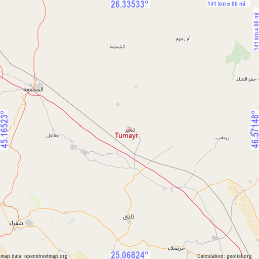
Tumayr GPS coordinates[2]
25° 42' 12.492" North, 45° 52' 6.06" East
| Map corner | latitude | longitude |
|---|---|---|
| Upper-left | 26.33533°, | 45.16523° |
| Center: | 25.70347°, | 45.86835° |
| Lower-right: | 25.06824°, | 46.57148° |
| Map W x H: | 140.9×140.9 km | = 87.6×87.6mi |
| max Lat: | 31.67252° ⇑41.2% North |
| Tumayr: | 25.70347° |
| min Lat: | ⇓58.8% South 16.57946° |
| min Long | Tumayr | max Long |
| 35.69014° | 45.86835° | 54.09599° |
| W 63.9%⇐ | ⇒36.1% E |
Elevation
Elevation of Tumayr is 648 m = 2126 ft, and this is 126.6 m = 415 ft above average elevation for this country.
| Max E: |
2385 m = 7825 ft | 30.9% |
| Tumayr | 648 m 2126 ft | |
| Avg. | 521.4 m = 1711 ft | |
Min E: |
3 m = 10 ft | 69.1% |
See also: Saudi Arabia elevation on elevation.city.
Geographical zone
Tumayr is located in North temperate zone (between Tropic of Cancer and the Arctic Circle). Distance of this Northern Tropic circle is 252 km =156.6 mi to South.| Distance of | km | miles | from Tumayr |
|---|---|---|---|
| North Pole | 7149.1 | 4442.2 | to North |
| Arctic Circle | 4543.2 | 2823 | to North |
| Tropic Cancer | 252 | 156.6 | to South |
| Equator | 2858 | 1775.9 | to South |


Nearby cities:
15 places around Tumayr: (largest is in red/bold)
• Ad Dawādimī
199.4 km =123.9 mi,  228°
228°
• Ad Dilam
230.8 km =143.4 mi,  145°
145°
• Al Arţāwīyah
103 km =64 mi,  329°
329°
• Al Bukayrīyah
226.3 km =140.6 mi,  282°
282°
• Al Kharj
226.9 km =141 mi,  139°
139°
• Al Majma‘ah
56.2 km =34.9 mi,  294°
294°
• Al Mithnab
165.7 km =103 mi, 276°
• Az Zulfī
124.4 km =77.3 mi,  302°
302°
• Buraydah
201.5 km =125.2 mi, 290°
• Marāt
81.6 km =50.7 mi,  210°
210°
• Riyadh
141.9 km =88.2 mi, 142°
• Sājir
139.9 km =86.9 mi,  245°
245°
• Tanūmah
232.3 km =144.3 mi,  311°
311°
• Unaizah
195.2 km =121.3 mi, 282°
• shokhaibٍ
140.8 km =87.5 mi,  163°
163°
Sources, notices
• [Note1] Compared only with cities in Saudi Arabia existing in our database
• [Src1] Map data: © OpenStreetMap contributors (CC-BY-SA)
• [Src2] Other city data from geonames.org with taken over terms of usage.
• [Src3] Geographical zone / Annual Mean Temperature by Robert A. Rohde @ Wikipedia
