Tokār geodata
Tokār (Red Sea) is a populated place; located in Sudan in Africa/Khartoum (GMT+2) time zone. With population of 22,250 people, there are 37 cities with bigger population in this country. Compared to other cities in Sudan, 88.7% of cities are located further ↓South; 100% of cities are located further ←West and 97.2% of cities have higher elevation than Tokār. Note1


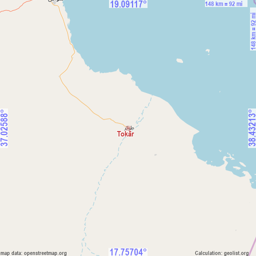
Tokār GPS coordinates[2]
18° 25' 31.44" North, 37° 43' 44.4" East
| Map corner | latitude | longitude |
|---|---|---|
| Upper-left | 19.09117°, | 37.02588° |
| Center: | 18.4254°, | 37.729° |
| Lower-right: | 17.75704°, | 38.43213° |
| Map W x H: | 148.3×148.3 km | = 92.1×92.1mi |
| max Lat: | 21.06667° ⇑11.3% North |
| Tokār: | 18.4254° |
| min Lat: | ⇓88.7% South 10.55° |
| min Long | Tokār | max Long |
| 22.44725° | 37.729° | 37.729° |
| W 100%⇐ | ⇒0% E |
Elevation
Elevation of Tokār is 22 m = 72 ft, and this is 427.1 m = 1401 ft below average elevation for this country.
| Max E: |
1159 m = 3802 ft | 97.2% |
| Avg. | 449.1 m = 1473 ft | |
| Tokār | 22 m = 72 ft | |
Min E: |
4 m = 13 ft | 2.8% |
See also: Sudan elevation on elevation.city.
Geographical zone
Tokār is located in North Torrid zone (between Equator and Tropic of Cancer). Distance of this Northern Tropic circle is 557.2 km =346.2 mi to North.| Distance of | km | miles | from Tokār |
|---|---|---|---|
| North Pole | 7958.3 | 4945.1 | to North |
| Arctic Circle | 5352.5 | 3325.9 | to North |
| Tropic Cancer | 557.2 | 346.2 | to North |
| Equator | 2048.7 | 1273 | to South |


Nearby cities:
10 places around Tokār: (largest is in red/bold)
• Aroma
336 km =208.8 mi,  210°
210°
• Atbara
403.7 km =250.8 mi,  258°
258°
• Berber
398.2 km =247.4 mi, 263°
• Ed Damer
407.7 km =253.3 mi, 256°
• El Bauga
403.7 km =250.8 mi,  267°
267°
• Gebeit
328.8 km =204.3 mi,  333°
333°
• Kassala
359.7 km =223.5 mi,  203°
203°
• Port Sudan
143.1 km =88.9 mi,  337°
337°
• Sawākin
86.4 km =53.7 mi, 331°
• Wagar
300.2 km =186.5 mi, 212°
Sources, notices
• [Note1] Compared only with cities in Sudan existing in our database
• [Src1] Map data: © OpenStreetMap contributors (CC-BY-SA)
• [Src2] Other city data from geonames.org with taken over terms of usage.
• [Src3] Geographical zone / Annual Mean Temperature by Robert A. Rohde @ Wikipedia
