Aroma geodata
Aroma (Kassala) is a populated place; located in Sudan in Africa/Khartoum (GMT+2) time zone. With population of 12,708 people, there are 50 cities with bigger population in this country. Compared to other cities in Sudan, 76.1% of cities are located further ↓South; 91.5% of cities are located further ←West and 57.7% of cities have lower elevation than Aroma. Note1


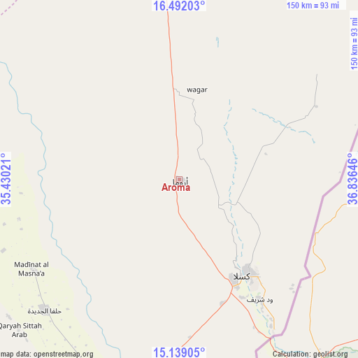
Aroma GPS coordinates[2]
15° 49' 0.012" North, 36° 7' 59.988" East
| Map corner | latitude | longitude |
|---|---|---|
| Upper-left | 16.49203°, | 35.43021° |
| Center: | 15.81667°, | 36.13333° |
| Lower-right: | 15.13905°, | 36.83646° |
| Map W x H: | 150.4×150.4 km | = 93.5×93.5mi |
| max Lat: | 21.06667° ⇑23.9% North |
| Aroma: | 15.81667° |
| min Lat: | ⇓76.1% South 10.55° |
| min Long | Aroma | max Long |
| 22.44725° | 36.13333° | 37.729° |
| W 91.5%⇐ | ⇒8.5% E |
Elevation
Elevation of Aroma is 443 m = 1453 ft, and this is 6.1 m = 20 ft below average elevation for this country.
| Max E: |
1159 m = 3802 ft | 42.3% |
| Avg. | 449.1 m = 1473 ft | |
| Aroma | 443 m = 1453 ft | |
Min E: |
4 m = 13 ft | 57.7% |
See also: Sudan elevation on elevation.city.
Geographical zone
Aroma is located in North Torrid zone (between Equator and Tropic of Cancer). Distance of this Northern Tropic circle is 847.3 km =526.5 mi to North.| Distance of | km | miles | from Aroma |
|---|---|---|---|
| North Pole | 8248.4 | 5125.3 | to North |
| Arctic Circle | 5642.5 | 3506.1 | to North |
| Tropic Cancer | 847.3 | 526.5 | to North |
| Equator | 1758.6 | 1092.7 | to South |


Nearby cities:
15 places around Aroma: (largest is in red/bold)
• Al Hasaheisa
326.3 km =202.8 mi,  248°
248°
• Al Hilāliyya
325.8 km =202.4 mi, 252°
• Al Masallamiyya
330.3 km =205.2 mi, 245°
• Al Qadarif
213.9 km =132.9 mi,  202°
202°
• Al Ḩawātah
311.9 km =193.8 mi,  211°
211°
• Atbara
310.2 km =192.7 mi,  312°
312°
• Berber
335.3 km =208.3 mi,  316°
316°
• Doka
258.8 km =160.8 mi,  188°
188°
• Ed Damer
303.7 km =188.7 mi, 310°
• El Matama
312.6 km =194.2 mi,  288°
288°
• Kassala
49.7 km =30.9 mi,  144°
144°
• Shendi
304.1 km =189 mi, 288°
• Wad Medani
321.7 km =199.9 mi,  240°
240°
• Wad Rāwah
329 km =204.4 mi,  257°
257°
• Wagar
38.1 km =23.7 mi,  11°
11°
Sources, notices
• [Note1] Compared only with cities in Sudan existing in our database
• [Src1] Map data: © OpenStreetMap contributors (CC-BY-SA)
• [Src2] Other city data from geonames.org with taken over terms of usage.
• [Src3] Geographical zone / Annual Mean Temperature by Robert A. Rohde @ Wikipedia
