Lenhovda geodata
Lenhovda (Kronoberg) is a populated place; located in Sweden in Europe/Stockholm (GMT+2) time zone. With population of 1,762 people, there are 579 cities with bigger population in this country. Compared to other cities in Sweden, 77.7% of cities are located further ↑North; 53.1% of cities are located further ←West and 95.1% of cities have lower elevation than Lenhovda. Note1


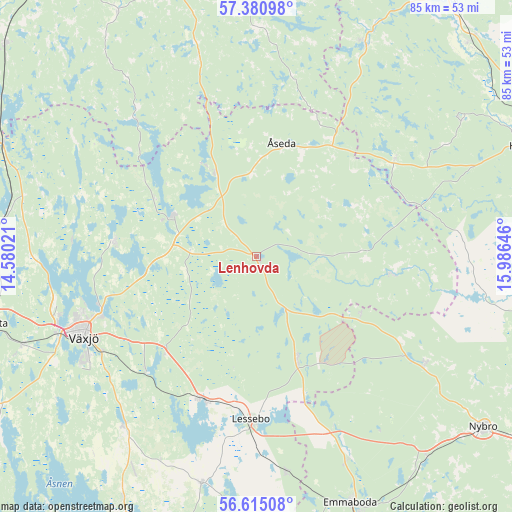
Lenhovda GPS coordinates[2]
57° 0' 0" North, 15° 16' 59.988" East
| Map corner | latitude | longitude |
|---|---|---|
| Upper-left | 57.38098°, | 14.58021° |
| Center: | 57°, | 15.28333° |
| Lower-right: | 56.61508°, | 15.98646° |
| Map W x H: | 85.2×85.2 km | = 52.9×52.9mi |
| max Lat: | 67.85572° ⇑77.7% North |
| Lenhovda: | 57° |
| min Lat: | ⇓22.3% South 55.34337° |
| min Long | Lenhovda | max Long |
| 11.1712° | 15.28333° | 24.13676° |
| W 53.1%⇐ | ⇒46.9% E |
Elevation
Elevation of Lenhovda is 266 m = 873 ft, and this is 183.4 m = 602 ft above average elevation for this country.
| Max E: |
663 m = 2175 ft | 4.9% |
| Lenhovda | 266 m 873 ft | |
| Avg. | 82.6 m = 271 ft | |
Min E: |
-1 m = -3 ft | 95.1% |
See also: Sweden elevation on elevation.city.
Geographical zone
Lenhovda is located in North temperate zone (between Tropic of Cancer and the Arctic Circle). Distance of this North polar circle is 1063.4 km =660.8 mi to North.| Distance of | km | miles | from Lenhovda |
|---|---|---|---|
| North Pole | 3669.3 | 2280 | to North |
| Arctic Circle | 1063.4 | 660.8 | to North |
| Tropic Cancer | 3731.9 | 2318.9 | to South |
| Equator | 6337.8 | 3938.1 | to South |


Nearby cities:
15 places around Lenhovda: (largest is in red/bold)
• Alstermo
22.7 km =14.1 mi,  97°
97°
• Braås
15.9 km =9.9 mi,  297°
297°
• Hovmantorp
25.2 km =15.7 mi,  200°
200°
• Ingelstad
35.6 km =22.1 mi,  218°
218°
• Korsberga
35 km =21.7 mi,  344°
344°
• Kosta
18.7 km =11.6 mi,  158°
158°
• Lessebo
27.6 km =17.1 mi,  181°
181°
• Orrefors
33.2 km =20.6 mi,  122°
122°
• Rottne
23.3 km =14.5 mi,  274°
274°
• Skruv
18.1 km =11.2 mi, 337°
• Skruv
36.3 km =22.6 mi,  172°
172°
• Virserum
39.6 km =24.6 mi,  27°
27°
• Växjö
31.8 km =19.8 mi,  244°
244°
• Åryd
26.6 km =16.5 mi, 223°
• Åseda
19.3 km =12 mi,  11°
11°
Sources, notices
• [Note1] Compared only with cities in Sweden existing in our database
• [Src1] Map data: © OpenStreetMap contributors (CC-BY-SA)
• [Src2] Other city data from geonames.org with taken over terms of usage.
• [Src3] Geographical zone / Annual Mean Temperature by Robert A. Rohde @ Wikipedia
