Bara geodata
Bara (Södermanland) is a section of populated place; located in Sweden in Europe/Stockholm (GMT+2) time zone. With population of 3,270 people, there are 382 cities with bigger population in this country. Compared to other cities in Sweden, 50.2% of cities are located further ↓South; 74.6% of cities are located further ←West and 75.3% of cities have higher elevation than Bara. Note1


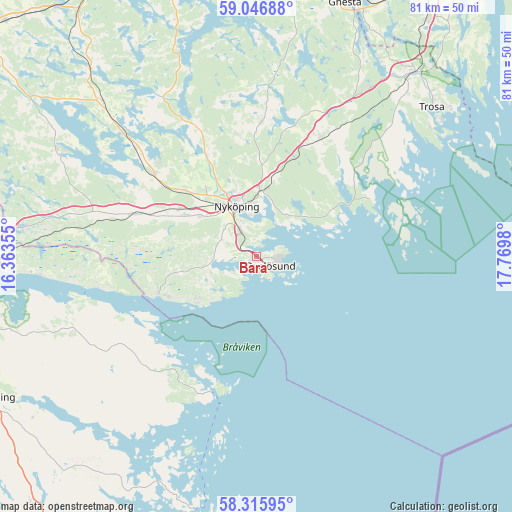
Bara GPS coordinates[2]
58° 40' 59.988" North, 17° 4' 0.012" East
| Map corner | latitude | longitude |
|---|---|---|
| Upper-left | 59.04688°, | 16.36355° |
| Center: | 58.68333°, | 17.06667° |
| Lower-right: | 58.31595°, | 17.7698° |
| Map W x H: | 81.3×81.3 km | = 50.5×50.5mi |
| max Lat: | 67.85572° ⇑49.8% North |
| Bara: | 58.68333° |
| min Lat: | ⇓50.2% South 55.34337° |
| min Long | Bara | max Long |
| 11.1712° | 17.06667° | 24.13676° |
| W 74.6%⇐ | ⇒25.4% E |
Elevation
Elevation of Bara is 20 m = 66 ft, and this is 62.6 m = 205 ft below average elevation for this country.
| Max E: |
663 m = 2175 ft | 75.3% |
| Avg. | 82.6 m = 271 ft | |
| Bara | 20 m = 66 ft | |
Min E: |
-1 m = -3 ft | 24.7% |
See also: Sweden elevation on elevation.city.
Geographical zone
Bara is located in North temperate zone (between Tropic of Cancer and the Arctic Circle). Distance of this North polar circle is 876.2 km =544.4 mi to North.| Distance of | km | miles | from Bara |
|---|---|---|---|
| North Pole | 3482.1 | 2163.7 | to North |
| Arctic Circle | 876.2 | 544.4 | to North |
| Tropic Cancer | 3919.1 | 2435.2 | to South |
| Equator | 6525 | 4054.4 | to South |


Nearby cities:
15 places around Bara: (largest is in red/bold)
• Arnö
5.4 km =3.4 mi,  332°
332°
• Bergshammar
10.9 km =6.8 mi,  305°
305°
• Jönåker
21.2 km =13.2 mi,  288°
288°
• Krokek
40.4 km =25.1 mi,  268°
268°
• Nyköping
8.5 km =5.3 mi,  336°
336°
• Nävekvarn
16.4 km =10.2 mi,  250°
250°
• Olstorp
29.1 km =18.1 mi,  300°
300°
• Oxelösund
2.5 km =1.6 mi,  125°
125°
• Stigtomta
20.9 km =13 mi, 308°
• Svalsta
13.1 km =8.1 mi, 300°
• Trosa
36.5 km =22.7 mi,  49°
49°
• Tystberga
20.9 km =13 mi,  27°
27°
• Vagnhärad
37.9 km =23.5 mi,  39°
39°
• Vrena
29 km =18 mi, 312°
• Östra Husby
31.9 km =19.8 mi, 249°
Sources, notices
• [Note1] Compared only with cities in Sweden existing in our database
• [Src1] Map data: © OpenStreetMap contributors (CC-BY-SA)
• [Src2] Other city data from geonames.org with taken over terms of usage.
• [Src3] Geographical zone / Annual Mean Temperature by Robert A. Rohde @ Wikipedia
