Kukuna geodata
Kukuna (Northern Province) is a populated place; located in Sierra Leone in Africa/Freetown (GMT+0) time zone. With population of 7,676 people, there are 26 cities with bigger population in this country. Compared to other cities in Sierra Leone, 94% of cities are located further ↓South; 80.7% of cities are located further →East and 73.5% of cities have higher elevation than Kukuna. Note1


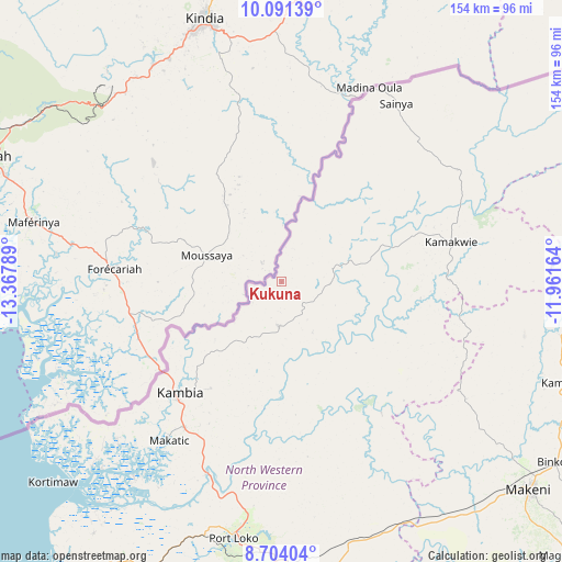
Kukuna GPS coordinates[2]
9° 23' 54.276" North, 12° 39' 53.136" West
| Map corner | latitude | longitude |
|---|---|---|
| Upper-left | 10.09139°, | -13.36789° |
| Center: | 9.39841°, | -12.66476° |
| Lower-right: | 8.70404°, | -11.96164° |
| Map W x H: | 154.3×154.3 km | = 95.9×95.9mi |
| max Lat: | 9.91376° ⇑6% North |
| Kukuna: | 9.39841° |
| min Lat: | ⇓94% South 7.24611° |
| min Long | Kukuna | max Long |
| -13.28972° | -12.66476° | -10.37135° |
| W 19.3%⇐ | ⇒80.7% E |
Elevation
Elevation of Kukuna is 47 m = 154 ft, and this is 110.2 m = 362 ft below average elevation for this country.
| Max E: |
564 m = 1850 ft | 73.5% |
| Avg. | 157.2 m = 516 ft | |
| Kukuna | 47 m = 154 ft | |
Min E: |
1 m = 3 ft | 26.5% |
See also: Sierra Leone elevation on elevation.city.
Geographical zone
Kukuna is located in North Torrid zone (between Equator and Tropic of Cancer). Distance of Equator is 1045 km =649.3 mi to South.| Distance of | km | miles | from Kukuna |
|---|---|---|---|
| North Pole | 8962.1 | 5568.8 | to North |
| Arctic Circle | 6356.2 | 3949.6 | to North |
| Tropic Cancer | 1560.9 | 969.9 | to North |
| Equator | 1045 | 649.3 | to South |


Nearby cities:
15 places around Kukuna: (largest is in red/bold)
• Binkolo
90 km =55.9 mi,  123°
123°
• Kamakwie
47.8 km =29.7 mi,  76°
76°
• Kambia
41.2 km =25.6 mi,  222°
222°
• Kassiri
71.2 km =44.2 mi, 224°
• Konakridee
100.2 km =62.3 mi, 218°
• Loma
80 km =49.7 mi,  59°
59°
• Lunsar
80.7 km =50.1 mi,  169°
169°
• Makeni
88.8 km =55.2 mi,  129°
129°
• Mambolo
67.2 km =41.8 mi, 217°
• Mange
57 km =35.4 mi,  201°
201°
• Masingbi
104.1 km =64.7 mi, 131°
• Pepel
99.9 km =62.1 mi,  205°
205°
• Port Loko
71.6 km =44.5 mi,  190°
190°
• Rokupr
86.5 km =53.7 mi,  159°
159°
• Sawkta
103.7 km =64.4 mi, 214°
Sources, notices
• [Note1] Compared only with cities in Sierra Leone existing in our database
• [Src1] Map data: © OpenStreetMap contributors (CC-BY-SA)
• [Src2] Other city data from geonames.org with taken over terms of usage.
• [Src3] Geographical zone / Annual Mean Temperature by Robert A. Rohde @ Wikipedia
