Mae Suai geodata
Mae Suai (Chiang Rai) is a seat of a second-order administrative division; located in Thailand in Asia/Bangkok (GMT+7) time zone. In our database, there are 331 cities with bigger population. Compared to other cities in Thailand, 98.2% of cities are located further ↓South; 84.4% of cities are located further →East and 97.3% of cities have lower elevation than Mae Suai. Note1


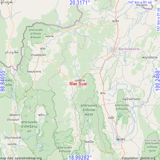
Mae Suai GPS coordinates[2]
19° 39' 22.788" North, 99° 32' 37.212" East
| Map corner | latitude | longitude |
|---|---|---|
| Upper-left | 20.3171°, | 98.84055° |
| Center: | 19.65633°, | 99.54367° |
| Lower-right: | 18.99282°, | 100.2468° |
| Map W x H: | 147.2×147.2 km | = 91.5×91.5mi |
| max Lat: | 20.43353° ⇑1.8% North |
| Mae Suai: | 19.65633° |
| min Lat: | ⇓98.2% South 5.77434° |
| min Long | Mae Suai | max Long |
| 97.93288° | 99.54367° | 105.49506° |
| W 15.6%⇐ | ⇒84.4% E |
Elevation
Elevation of Mae Suai is 460 m = 1509 ft, and this is 334.5 m = 1097 ft above average elevation for this country.
| Max E: |
1011 m = 3317 ft | 2.7% |
| Mae Suai | 460 m 1509 ft | |
| Avg. | 125.5 m = 412 ft | |
Min E: |
1 m = 3 ft | 97.3% |
See also: Thailand elevation on elevation.city.
Geographical zone
Mae Suai is located in North Torrid zone (between Equator and Tropic of Cancer). Distance of this Northern Tropic circle is 420.3 km =261.2 mi to North.| Distance of | km | miles | from Mae Suai |
|---|---|---|---|
| North Pole | 7821.5 | 4860.1 | to North |
| Arctic Circle | 5215.6 | 3240.8 | to North |
| Tropic Cancer | 420.3 | 261.2 | to North |
| Equator | 2185.6 | 1358.1 | to South |


Nearby cities:
15 places around Mae Suai: (largest is in red/bold)
• Ban Ho Mae Salong
57.5 km =35.7 mi,  9°
9°
• Chai Prakan
43.1 km =26.8 mi,  281°
281°
• Chiang Rai
41.2 km =25.6 mi,  47°
47°
• Fang
45 km =28 mi,  310°
310°
• Mae Ai
48.7 km =30.3 mi,  328°
328°
• Mae Chai
44.7 km =27.8 mi,  140°
140°
• Mae Lao
22.1 km =13.7 mi, 47°
• Pa Daet
49.9 km =31 mi,  109°
109°
• Phan
23.5 km =14.6 mi,  118°
118°
• Phayao
62.5 km =38.8 mi,  145°
145°
• Phrao
48.2 km =30 mi,  227°
227°
• Phu Kam Yao
62 km =38.5 mi,  133°
133°
• Wang Nuea
57.2 km =35.5 mi,  172°
172°
• Wiang Chai
48 km =29.8 mi,  58°
58°
• Wiang Pa Pao
34.5 km =21.4 mi,  186°
186°
Sources, notices
• [Note1] Compared only with cities in Thailand existing in our database
• [Src1] Map data: © OpenStreetMap contributors (CC-BY-SA)
• [Src2] Other city data from geonames.org with taken over terms of usage.
• [Src3] Geographical zone / Annual Mean Temperature by Robert A. Rohde @ Wikipedia
