Mae Ramat geodata
Mae Ramat (Tak) is a seat of a second-order administrative division; located in Thailand in Asia/Bangkok (GMT+7) time zone. With population of 17,316 people, there are 183 cities with bigger population in this country. Compared to other cities in Thailand, 78.2% of cities are located further ↓South; 96.1% of cities are located further →East and 75.9% of cities have lower elevation than Mae Ramat. Note1


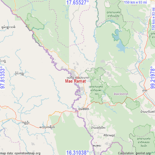
Mae Ramat GPS coordinates[2]
16° 59' 2.508" North, 98° 30' 59.94" East
| Map corner | latitude | longitude |
|---|---|---|
| Upper-left | 17.65527°, | 97.81353° |
| Center: | 16.98403°, | 98.51665° |
| Lower-right: | 16.31038°, | 99.21978° |
| Map W x H: | 149.5×149.5 km | = 92.9×92.9mi |
| max Lat: | 20.43353° ⇑21.8% North |
| Mae Ramat: | 16.98403° |
| min Lat: | ⇓78.2% South 5.77434° |
| min Long | Mae Ramat | max Long |
| 97.93288° | 98.51665° | 105.49506° |
| W 3.9%⇐ | ⇒96.1% E |
Elevation
Elevation of Mae Ramat is 184 m = 604 ft, and this is 58.5 m = 192 ft above average elevation for this country.
| Max E: |
1011 m = 3317 ft | 24.1% |
| Mae Ramat | 184 m 604 ft | |
| Avg. | 125.5 m = 412 ft | |
Min E: |
1 m = 3 ft | 75.9% |
See also: Thailand elevation on elevation.city.
Geographical zone
Mae Ramat is located in North Torrid zone (between Equator and Tropic of Cancer). Distance of this Northern Tropic circle is 717.5 km =445.8 mi to North.| Distance of | km | miles | from Mae Ramat |
|---|---|---|---|
| North Pole | 8118.6 | 5044.7 | to North |
| Arctic Circle | 5512.7 | 3425.4 | to North |
| Tropic Cancer | 717.5 | 445.8 | to North |
| Equator | 1888.4 | 1173.4 | to South |


Nearby cities:
15 places around Mae Ramat: (largest is in red/bold)
• Ban Dan Lan Hoi
112.6 km =70 mi,  88°
88°
• Ban Tak
60.4 km =37.5 mi,  83°
83°
• Doi Tao
109.2 km =67.9 mi,  9°
9°
• Kosamphi Nakhon
97 km =60.3 mi,  113°
113°
• Li
102 km =63.4 mi,  26°
26°
• Mae Phrik
81.7 km =50.8 mi,  50°
50°
• Mae Sot
30.2 km =18.8 mi,  169°
169°
• Om Koi
92.4 km =57.4 mi,  349°
349°
• Phop Phra
69.2 km =43 mi,  164°
164°
• Sam Ngao
61 km =37.9 mi,  61°
61°
• Tak
66.4 km =41.3 mi,  101°
101°
• Tha Song Yang
41.1 km =25.5 mi,  311°
311°
• Thoen
102 km =63.4 mi, 46°
• Umphang
113.8 km =70.7 mi, 161°
• Wang Chao
87.2 km =54.2 mi, 113°
Sources, notices
• [Note1] Compared only with cities in Thailand existing in our database
• [Src1] Map data: © OpenStreetMap contributors (CC-BY-SA)
• [Src2] Other city data from geonames.org with taken over terms of usage.
• [Src3] Geographical zone / Annual Mean Temperature by Robert A. Rohde @ Wikipedia
