Wat Bot geodata
Wat Bot (Phitsanulok) is a seat of a second-order administrative division; located in Thailand in Asia/Bangkok (GMT+7) time zone. In our database, there are 331 cities with bigger population. Compared to other cities in Thailand, 78.1% of cities are located further ↓South; 63.2% of cities are located further →East and 58.2% of cities have higher elevation than Wat Bot. Note1


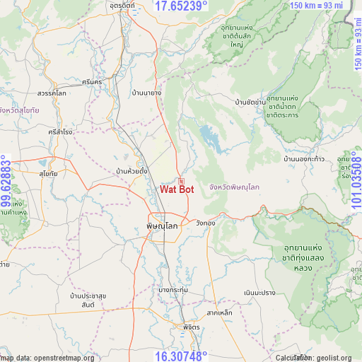
Wat Bot GPS coordinates[2]
16° 58' 52.104" North, 100° 19' 55.02" East
| Map corner | latitude | longitude |
|---|---|---|
| Upper-left | 17.65239°, | 99.62883° |
| Center: | 16.98114°, | 100.33195° |
| Lower-right: | 16.30748°, | 101.03508° |
| Map W x H: | 149.5×149.5 km | = 92.9×92.9mi |
| max Lat: | 20.43353° ⇑21.9% North |
| Wat Bot: | 16.98114° |
| min Lat: | ⇓78.1% South 5.77434° |
| min Long | Wat Bot | max Long |
| 97.93288° | 100.33195° | 105.49506° |
| W 36.8%⇐ | ⇒63.2% E |
Elevation
Elevation of Wat Bot is 49 m = 161 ft, and this is 76.5 m = 251 ft below average elevation for this country.
| Max E: |
1011 m = 3317 ft | 58.2% |
| Avg. | 125.5 m = 412 ft | |
| Wat Bot | 49 m = 161 ft | |
Min E: |
1 m = 3 ft | 41.8% |
See also: Thailand elevation on elevation.city.
Geographical zone
Wat Bot is located in North Torrid zone (between Equator and Tropic of Cancer). Distance of this Northern Tropic circle is 717.8 km =446 mi to North.| Distance of | km | miles | from Wat Bot |
|---|---|---|---|
| North Pole | 8118.9 | 5044.8 | to North |
| Arctic Circle | 5513 | 3425.6 | to North |
| Tropic Cancer | 717.8 | 446 | to North |
| Equator | 1888.1 | 1173.2 | to South |


Nearby cities:
15 places around Wat Bot: (largest is in red/bold)
• Bang Krathum
44.9 km =27.9 mi,  184°
184°
• Bang Rakam
33.7 km =20.9 mi,  222°
222°
• Chat Trakan
43.4 km =27 mi,  41°
41°
• Kong Krailat
37.8 km =23.5 mi,  265°
265°
• Phichai
42.9 km =26.7 mi,  322°
322°
• Phitsanulok
19.1 km =11.9 mi,  204°
204°
• Phrom Phiram
15 km =9.3 mi,  292°
292°
• Sak Lek
54.9 km =34.1 mi,  164°
164°
• Sam Ngam
54.5 km =33.9 mi,  194°
194°
• Si Nakhon
55 km =34.2 mi, 318°
• Si Samrong
53.9 km =33.5 mi, 292°
• Sukhothai
54.2 km =33.7 mi, 273°
• Thong Saen Khan
54.4 km =33.8 mi,  359°
359°
• Wachira Barami
54.7 km =34 mi, 201°
• Wang Thong
20.3 km =12.6 mi,  149°
149°
Sources, notices
• [Note1] Compared only with cities in Thailand existing in our database
• [Src1] Map data: © OpenStreetMap contributors (CC-BY-SA)
• [Src2] Other city data from geonames.org with taken over terms of usage.
• [Src3] Geographical zone / Annual Mean Temperature by Robert A. Rohde @ Wikipedia
